Black Mesa: What to Know Before You Go
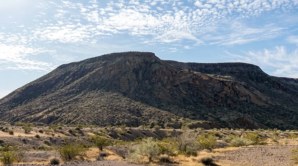
Black Mesa has no marked trail, no signage, and no maintained path — just a use-trail climbing through a narrow canyon of red mudstone and gypsum veins to a flat mesa top roughly 3.9 miles round trip. One detailed trip report calls the summit view simply the best in southern Nevada: the Muddy Mountains, Sheep Range, Mt. Charleston, the Black Mountains across the Arizona line, and Lake Mead itself, all from one spot. A 1934 survey benchmark still sits at the top. Welcome to Black Mesa, genuine off-trail hiking a short drive from Las Vegas.
Trail Snapshot
Distance | Approximately 3.9 miles round trip to the summit (a shorter ~2.4 mile variant exists; a longer ~10.3 mile route continues toward the Lake Mead shoreline as a separate extension)
Elevation | ~565 ft gain (2,198 ft summit elevation)
Difficulty | Moderate to Strenuous (off-trail, Class 2 terrain)
Hike Time | 2 to 3 hours to the summit
Fee | $25 per vehicle (1-7 day pass), $15 per person pedestrian/cyclist, $45 annual pass — cashless, card only
Restrooms | Not confirmed at the pullout
Pets | Not explicitly confirmed
Elevation | ~565 ft gain (2,198 ft summit elevation)
Difficulty | Moderate to Strenuous (off-trail, Class 2 terrain)
Hike Time | 2 to 3 hours to the summit
Fee | $25 per vehicle (1-7 day pass), $15 per person pedestrian/cyclist, $45 annual pass — cashless, card only
Restrooms | Not confirmed at the pullout
Pets | Not explicitly confirmed
How to Reach the Trailhead
Park at an informal pullout near mile 10.5 on Northshore Road (NV-167), just before the Callville Bay turnoff. Lake Mead National Recreation Area's entrance fee is notably higher than other Las Vegas-area parks — $25 per vehicle for a 1-7 day pass, card only, no cash accepted since January 2024.
What to Expect on the Trail
This is genuine off-trail hiking — no marked path, climbing a narrow canyon of loose stones and boulders to reach the flat mesa top. Sources report distances ranging from about 2.4 to 10.3 miles depending on how far you go; the roughly 3.9-mile figure to the mesa summit itself is the most detailed, GPS-tracked account found. Route-finding matters here — bring real navigation tools, not just a general sense of direction. The rocky mesa edges are good rattlesnake habitat, and this is remote terrain with no services.
A Summit View and a 1934 Benchmark
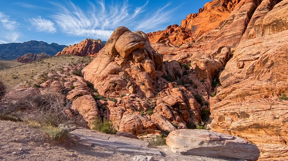
The canyon walls show red mudstone with visible gypsum veins, opening onto a flat rocky mesa summit with panoramic views described as among the best in southern Nevada — the Muddy Mountains, Sheep Range, Mt. Charleston, the Black Mountains of Arizona, and Lake Mead toward Black Canyon. A US Coast and Geodetic Survey benchmark marker placed in 1934 still sits at the summit, a real historical detail from the mesa's use as a survey point decades before the park existed in its current form.
Best Time to Visit and Conditions
Fall through spring is most comfortable given the exposed, shadeless terrain. The park is open year-round.
Practical Advice for New Visitors
- Bring at least 2-3 liters of water per person.
- Download a GPS track or offline map before you go — this is genuine off-trail navigation.
- Wear sturdy boots for loose rock underfoot.
- Pack the 10 Essentials given the remote, unmarked nature of this hike.
- Watch for rattlesnakes on the rocky mesa top.
- Lake Mead's entrance fee ($25/vehicle) is notably higher than other parks in this area — card only, no cash.
- Look for the 1934 survey benchmark at the summit.
- Not recommended for young kids given the off-trail terrain.
For hikers who want genuine off-trail navigation and a summit view that lives up to the hype, Black Mesa is one of the more rewarding lesser-known hikes near Lake Mead. Take your time route-finding, respect the terrain, and leave no trace on the way up or down.