La Madre Spring Trail: What to Know Before You Go
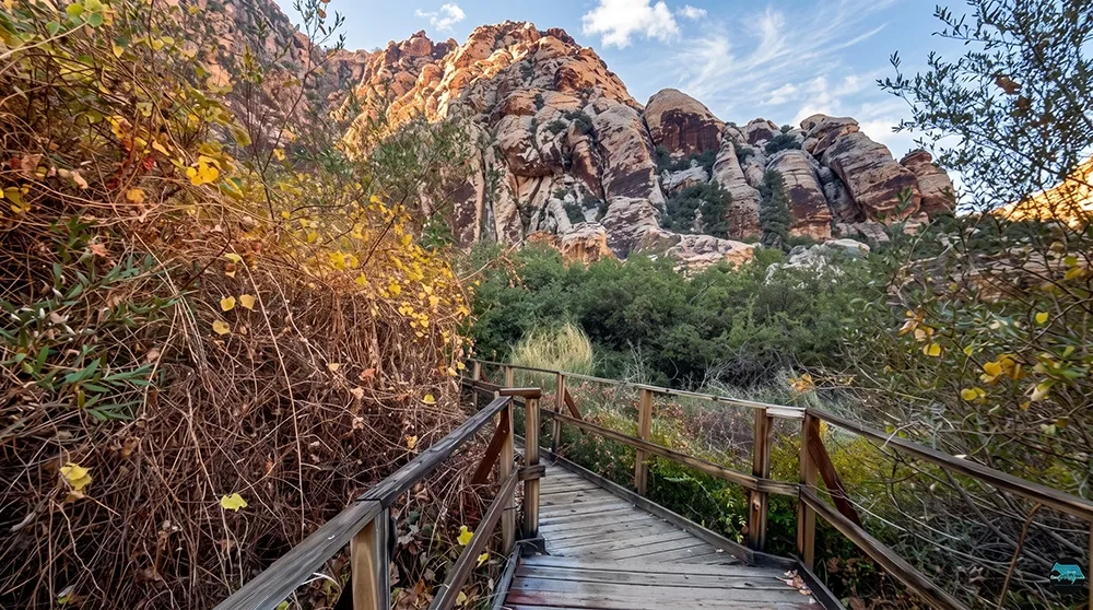
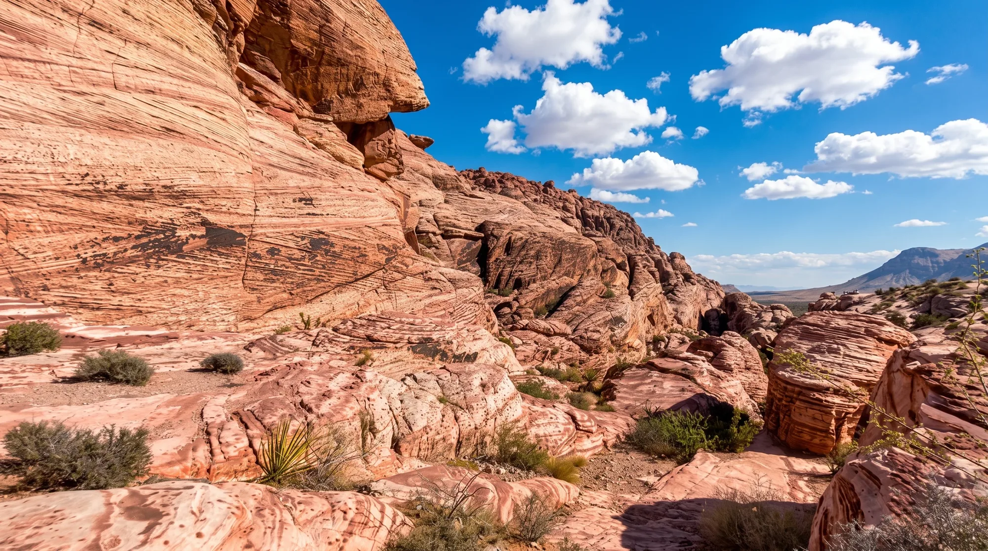
The valley leading to La Madre Spring feels different from most of Red Rock Canyon — dense pinyon pine, juniper, and scrub oak crowd the wash thickly enough that one guidebook calls it a forest. White sandstone hills flank one side, gray limestone the other, and the trail follows an old road along Red Rock Wash before climbing to a spring-fed waterfall that runs heaviest after rain. Hikers willing to push further can reach the partly-restored ruins of an early-1900s miner's cabin and a small mine that once produced copper, lead, zinc, and silver. Welcome to La Madre Spring, a 3.6-mile round trip with real payoff at the end.
Trail Snapshot
Distance | Approximately 3.6 miles round trip to the spring/waterfall (extension to the historic mine adds about 1.4 miles each way)
Difficulty | Moderate
Hike Time | 1.5 to 2 hours to the spring; longer with the mine extension
Elevation Gain | ~700 ft to the spring (~1,550 ft including the mine extension)
Fee | $20 per vehicle (Red Rock Canyon entrance fee)
Reservation | Required for Scenic Drive entry Oct 1–May 31, 8am to 5pm (free, via recreation.gov); not required June 1–Sep 30, or outside those hours any time of year
Restrooms | Yes, at Willow Spring Picnic Area
Pets | Allowed, must be leashed
Difficulty | Moderate
Hike Time | 1.5 to 2 hours to the spring; longer with the mine extension
Elevation Gain | ~700 ft to the spring (~1,550 ft including the mine extension)
Fee | $20 per vehicle (Red Rock Canyon entrance fee)
Reservation | Required for Scenic Drive entry Oct 1–May 31, 8am to 5pm (free, via recreation.gov); not required June 1–Sep 30, or outside those hours any time of year
Restrooms | Yes, at Willow Spring Picnic Area
Pets | Allowed, must be leashed
How to Reach the Trailhead
Start from Willow Spring Picnic Area, reached via Rocky Gap Road at mile 7.2 of the Scenic Drive — the picnic area has restrooms and tables. The road continues unpaved past the picnic area toward the wilderness boundary, but it's rough enough with washouts that most hikers should just walk in from the picnic area rather than drive further. The standard $20 entrance fee and Scenic Drive reservation apply.
What to Expect on the Trail
The trail follows Red Rock Wash before climbing through a valley flanked by the white sandstone of the White Rock Hills on one side and the gray limestone of La Madre Mountain on the other. Vegetation grows dense enough to feel like a genuine forest by Red Rock Canyon standards. About 1.8 miles in, the trail reaches La Madre Spring and a seasonal waterfall near an old dam site. Hikers continuing further will reach a partly-restored stone cabin around 2.3 miles, marking an early-1900s mining camp, with a small mine a few tenths of a mile beyond that.
An Old Mining Camp Beyond the Spring
Around 2.3 miles in, a partly-restored stone cabin marks where early-1900s miners set up camp. A few tenths of a mile further sits the small "Emerald Prospect" mine, which extracted modest amounts of copper, lead, zinc, and silver through several adits, shafts, and a pit — mineralization tied to the La Madre Fault Zone running through the White Rock Hills. Stay out of any old mine openings, which are not maintained or safe to enter.
Best Time to Visit and Conditions
Fall through spring offers the most comfortable hiking temperatures. Visit within a few days of recent rain if you want the waterfall running at its best — it's not a reliable year-round flow.
Practical Advice for New Visitors
- Check recent rainfall if you're hoping to see real water at the waterfall.
- Bring at least 2 to 3 liters of water per person.
- Wear sturdy hiking shoes.
- Pack layers for the shaded valley sections.
- The unpaved road past the picnic area is rough — just walk in rather than driving further.
- Stay out of any old mine shafts or adits near the historic camp.
- Allow extra time and water if attempting the mine extension.
- Leash your dog for the full route.
La Madre Spring rewards hikers willing to commit to a real moderate hike with genuine variety — a waterfall, a change in scenery from the open desert, and a real piece of mining history for those who go the extra distance. Stay on the marked route, respect the old mining ruins, and pack out everything you bring in.