Calico Hills Trail: What to Know Before You Go
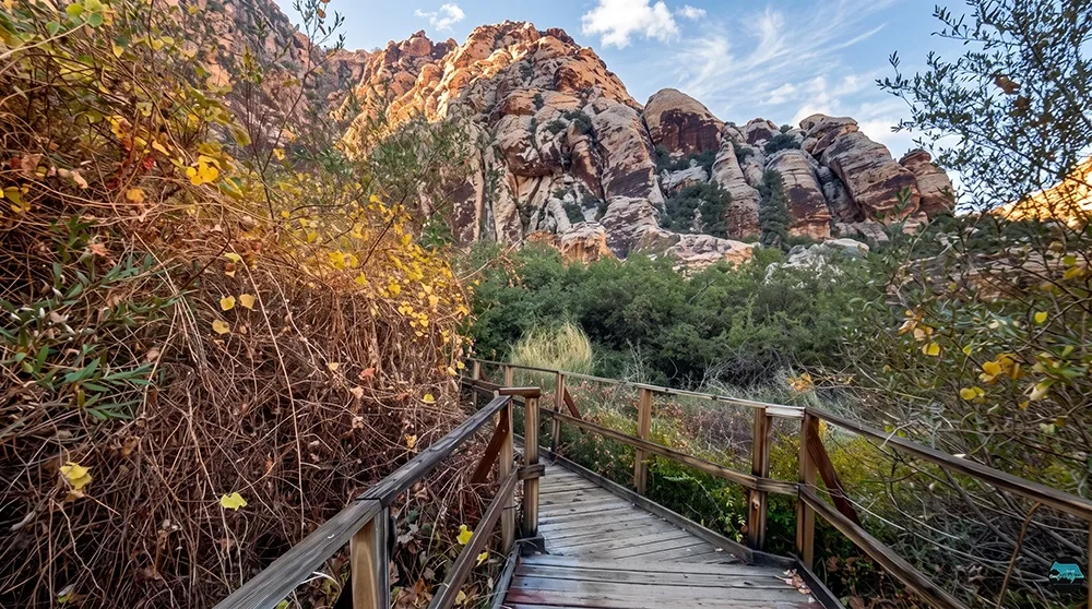
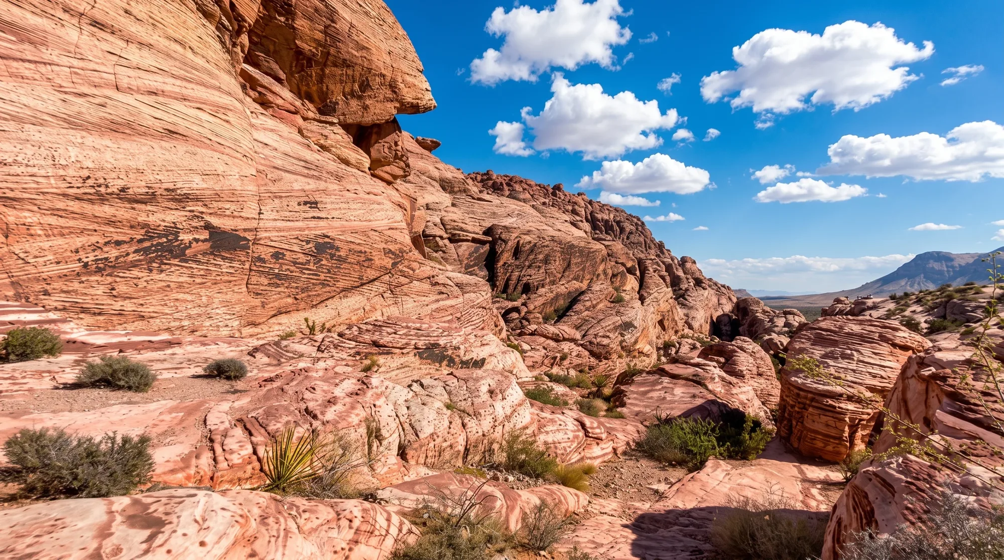
The Calico Hills Trail isn't a single fixed route so much as a corridor — a trail running along the base of the Calico Rocks with several access points, letting hikers piece together anywhere from a couple of miles to a genuine half-day outing depending on where they start and end. It connects the Calico Basin side of the park to the popular Sandstone Quarry trailhead, staying close to the same red and white sandstone that makes Red Rock Canyon's Scenic Drive so photogenic. Welcome to Calico Hills, a flexible trail that rewards a little route planning.
Trail Snapshot
Distance | 2 to 6 miles depending on which access points you connect
Difficulty | Moderate
Hike Time | 1.5 to 3.5 hours
Elevation Gain | Not officially stated — varies by segment
Fee | $20 per vehicle (Red Rock Canyon entrance fee)
Reservation | Required for Scenic Drive entry Oct 1–May 31, 8am to 5pm (free, via recreation.gov); not required June 1–Sep 30, or outside those hours any time of year
Restrooms | Available at Sandstone Quarry trailhead
Pets | Allowed, must be leashed
Difficulty | Moderate
Hike Time | 1.5 to 3.5 hours
Elevation Gain | Not officially stated — varies by segment
Fee | $20 per vehicle (Red Rock Canyon entrance fee)
Reservation | Required for Scenic Drive entry Oct 1–May 31, 8am to 5pm (free, via recreation.gov); not required June 1–Sep 30, or outside those hours any time of year
Restrooms | Available at Sandstone Quarry trailhead
Pets | Allowed, must be leashed
How to Reach the Trailhead
Multiple access points exist along the Scenic Drive — Calico I, Calico II, and the Sandstone Quarry trailhead — all inside the fee area, so the standard $20 fee and Scenic Drive reservation apply. Restrooms are available at Sandstone Quarry.
What to Expect on the Trail
Difficulty and length both vary significantly depending on which segment or combination of access points you hike, ranging from a moderate 2-mile out-and-back to a longer 6-mile connector. The trail stays close to the base of the Calico Rocks, the same red and white banded sandstone that defines Red Rock Canyon's most photographed views along the Scenic Drive. Cell service is unreliable along most of the route, so plan your turnaround point before you start.
A Trail Built for Route Planning
The ability to link segments together into a longer route gives Calico Hills more flexibility than most other Red Rock trails. Rather than a single fixed hike, treat it as a plan-your-own-length connector — decide your access points ahead of time to match the trail to your group's ability.
Best Time to Visit and Conditions
Fall through spring is most comfortable, given limited shade along most of the route.
Practical Advice for New Visitors
- Decide your access points ahead of time — this trail's length varies a lot depending on route.
- Bring at least 2 to 3 liters of water per person for longer segments.
- Download offline maps — cell service is unreliable along most of the trail.
- Pack sun protection — shade is limited.
- Reserve your Scenic Drive time slot ahead of time in peak season.
- Sandstone Quarry has the most reliable restrooms among the access points.
- Combine with Calico Tanks or Turtlehead Peak if starting from Sandstone Quarry.
- Leash your dog for the full route.
Calico Hills works best as a flexible route you build to match your own ability, staying close to some of the most photogenic sandstone in the park the whole way. Plan your access points ahead of time, stay on the marked trail, and enjoy one of Red Rock Canyon's more adaptable hikes.