Girl Scout Trail: What to Know Before You Go
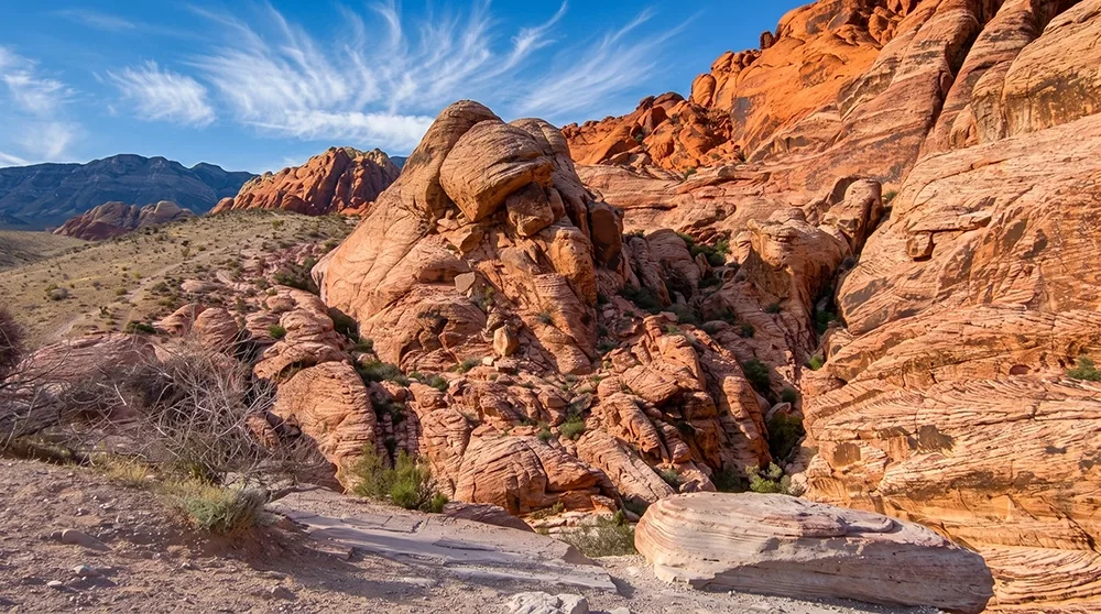
Not every trail needs to be a destination. The Girl Scout Trail runs a short 1.3 miles along the base of the Calico Hills, connecting the Ash Spring/Kraft Mountain parking area to the north end of the Calico Basin Trail near Red Spring. On its own, it's a modest, easy walk — one guidebook fairly calls it more interesting as a connector than as a stand-alone hike. Welcome to the Girl Scout Trail, a useful link for building a longer day in the Calico Basin area.
Trail Snapshot
Distance | Approximately 1.3 miles round trip
Difficulty | Easy
Hike Time | About 1 hour
Elevation Gain | Minimal (roughly 39 ft change on the northbound segment)
Fee | Standard Red Rock Canyon entrance fee applies per the official trail page
Reservation | Likely not required, since access is via Calico Basin Road rather than the Scenic Drive (inferred, not explicitly confirmed)
Restrooms | Not confirmed at this trailhead
Pets | Standard park leash policy applies
Difficulty | Easy
Hike Time | About 1 hour
Elevation Gain | Minimal (roughly 39 ft change on the northbound segment)
Fee | Standard Red Rock Canyon entrance fee applies per the official trail page
Reservation | Likely not required, since access is via Calico Basin Road rather than the Scenic Drive (inferred, not explicitly confirmed)
Restrooms | Not confirmed at this trailhead
Pets | Standard park leash policy applies
How to Reach the Trailhead
Two access options exist: the Ash Spring/Kraft Mountain parking lot, or hiking in via the north end of the Calico Basin Trail from the Red Spring Trailhead on Calico Basin Road. Since access is via Calico Basin Road rather than the Scenic Drive, the October 1 through May 31 Scenic Drive reservation likely doesn't apply here, though this isn't explicitly confirmed on an official fee page.
What to Expect on the Trail
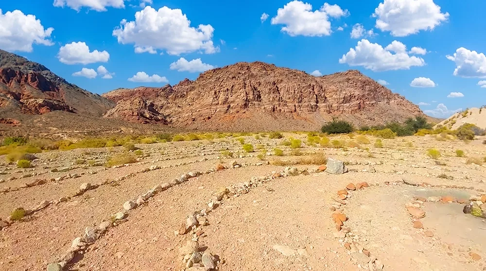
This is a short, easy walk suitable for nearly any fitness level — one detailed trail guide describes the northbound segment as covering only about 0.64 miles one-way with roughly 39 feet of elevation change. The trail runs along the base of the Calico Hills, with general desert scenery and wildlife viewing along the way.
A Connector, Not a Destination
The trail passes a Girl Scouts of Southern Nevada picnic area, which may be the source of the trail's name, though no documented naming history was found beyond that observation. Its real value is connecting other trails in the Calico Basin area into a longer day — pair it with the adjacent Calico Basin Trail for a fuller outing rather than treating it as a must-do destination on its own.
Best Time to Visit and Conditions
Fall through spring is most comfortable, consistent with most trails in this area, though the short distance makes this workable most of the year.
Practical Advice for New Visitors
- Treat this as a connector — pair it with Calico Basin for a longer day.
- Bring 1 liter of water per person.
- Pack sun protection.
- Wear comfortable walking shoes.
- Combine with Calico Basin Trail's petroglyph boardwalk for more to see.
- No confirmed restrooms at either access point — plan ahead.
- Standard leash policy applies for the family dog.
- Check current fee/reservation details before you go, since this trail's exact requirements aren't fully documented.
The Girl Scout Trail works best as a short, useful link rather than a must-do destination on its own. Pair it with Calico Basin Trail nearby, stay on the marked path, and use it to build a longer day in one of Red Rock Canyon's most accessible areas.