Grand Circle Loop: What to Know Before You Go
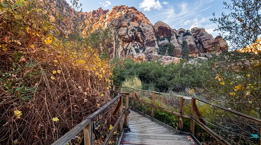
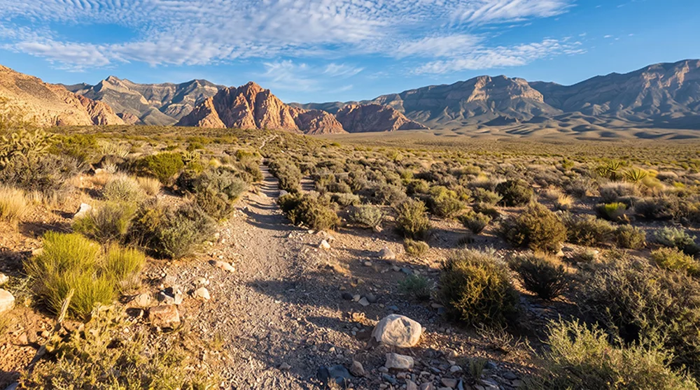
The Grand Circle Loop isn't a single distinct trail so much as a full-day combination of others — stitching together segments of the White Rock-Willow Springs, Calico Hills, and Moenkopi trails into 11.4 miles, the longest official route in Red Rock Canyon's Scenic Drive area. It's a serious undertaking, roughly six hours of hiking through some of the same terrain covered by LvLocal's other Red Rock guides, just combined into one long loop. Welcome to the Grand Circle Loop, for hikers who want to see a lot of the park in a single strenuous day.
Trail Snapshot
Distance | Approximately 11.4 miles
Difficulty | Strenuous
Hike Time | About 6 hours
Elevation Gain | Not officially stated
Fee | $20 per vehicle (Red Rock Canyon entrance fee)
Reservation | Required for Scenic Drive entry Oct 1–May 31, 8am to 5pm (free, via recreation.gov); not required June 1–Sep 30, or outside those hours any time of year
Restrooms | Available at some access points (Willow Spring Picnic Area, Visitor Center) along the route
Pets | Allowed, must be leashed
Difficulty | Strenuous
Hike Time | About 6 hours
Elevation Gain | Not officially stated
Fee | $20 per vehicle (Red Rock Canyon entrance fee)
Reservation | Required for Scenic Drive entry Oct 1–May 31, 8am to 5pm (free, via recreation.gov); not required June 1–Sep 30, or outside those hours any time of year
Restrooms | Available at some access points (Willow Spring Picnic Area, Visitor Center) along the route
Pets | Allowed, must be leashed
How to Reach the Trailhead
Because this loop is built from segments of other named trails, it can be started from several different points along the Scenic Drive, including Willow Spring Picnic Area and the Visitor Center. The standard $20 fee and Scenic Drive reservation apply regardless of starting point.
What to Expect on the Trail
At 11.4 miles and roughly six hours, this is the longest official trail in the Scenic Drive area. No official elevation-gain figure is available, so plan for a genuine full-day commitment regardless of the number on paper. The loop passes through much of the same terrain covered by LvLocal's Moenkopi Loop, Calico Hills, and White Rock-Willow Springs guides, seeing a genuinely wide cross-section of the park in one outing.
The Park's Biggest Official Loop
Since the loop overlaps with Moenkopi's limestone ridge and Calico Hills' sandstone formations, hikers see a broad sample of the park's geology in a single trip. Facilities exist at some points along the route — Willow Spring and the Visitor Center — but not continuously, so plan your water and food for the full distance rather than counting on resupply along the way.
Best Time to Visit and Conditions
Fall through spring is essential given the length and limited shade; an early start is non-negotiable regardless of season.
Practical Advice for New Visitors
- Bring at least 3 to 4 liters of water per person.
- Pack a full day's worth of food.
- Carry an offline map or GPS track covering the full combined route.
- Start at first light to ensure enough daylight.
- Know your exit points along the route in case you need to bail early.
- Facilities only exist at certain points, not continuously.
- This isn't appropriate for children — it's a serious adult full-day hike.
- Consider a shorter individual segment (Moenkopi Loop, Willow Spring Loop) if this feels like too much.
For hikers who want to see a broad cross-section of Red Rock Canyon in a single serious day, the Grand Circle Loop is the park's biggest official undertaking. Come prepared for a genuine full-day hike, know your route in advance, and don't treat it like a normal day hike.