North Peak Trail: What to Know Before You Go
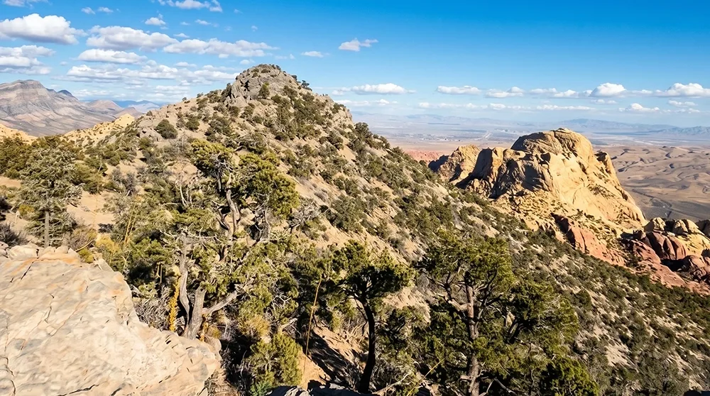
At nearly 12 miles round trip with over 2,600 feet of climbing, North Peak is the longest official trail in Red Rock Canyon's Scenic Drive area — and the trail itself warns that portions are unmarked and require scrambling. This is not a casual afternoon hike. The route follows Rocky Gap Road past the Bridge Mountain Trail junction before climbing through pinyon-juniper forest to a 7,047-foot limestone summit atop the Red Rock Escarpment. Welcome to North Peak, a serious full-day objective for experienced hikers only.
Before You Go: This trail is genuinely advanced. Portions of the route are unmarked and require scrambling, per the park's own trail description. Do not attempt this without a topo map, GPS track, or real route-finding experience.
Trail Snapshot
Distance | Approximately 11.8 miles round trip
Difficulty | Strenuous
Hike Time | 5 to 7 hours
Elevation Gain | ~2,650–2,670 ft
Fee | $20 per vehicle (Red Rock Canyon entrance fee)
Reservation | Required for Scenic Drive entry Oct 1–May 31, 8am to 5pm (free, via recreation.gov); not required June 1–Sep 30, or outside those hours any time of year
Restrooms | Yes, at Willow Spring Picnic Area (none beyond the trailhead)
Pets | Allowed, must be leashed at the trailhead facilities
Difficulty | Strenuous
Hike Time | 5 to 7 hours
Elevation Gain | ~2,650–2,670 ft
Fee | $20 per vehicle (Red Rock Canyon entrance fee)
Reservation | Required for Scenic Drive entry Oct 1–May 31, 8am to 5pm (free, via recreation.gov); not required June 1–Sep 30, or outside those hours any time of year
Restrooms | Yes, at Willow Spring Picnic Area (none beyond the trailhead)
Pets | Allowed, must be leashed at the trailhead facilities
How to Reach the Trailhead
Start from Willow Spring Picnic Area, which has restrooms and roughly 28 picnic tables. The standard $20 fee and Scenic Drive reservation apply. Beyond the trailhead, don't expect any facilities for the remaining 11-plus miles.
What to Expect on the Trail
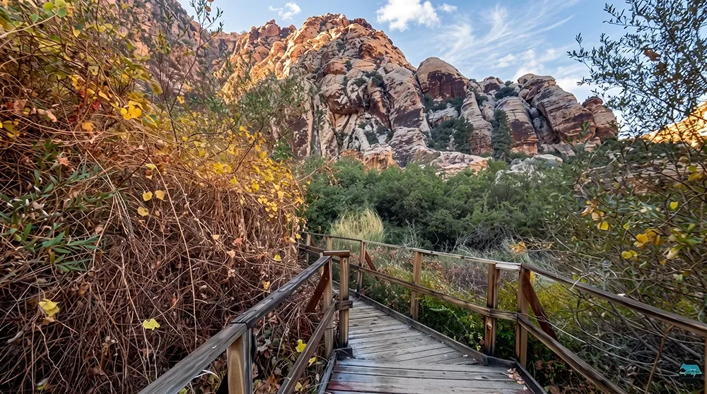
The route follows Rocky Gap Road past the Bridge Mountain Trail junction, continuing further to where the North Peak Trail forks off, then climbs through pinyon-juniper forest toward the summit. The official trail description explicitly states that portions of the route are unmarked and require scrambling — a real navigation and skill hazard, not just a fitness challenge. The summit itself sits at 7,047 feet atop the Red Rock Escarpment, the dramatic wall that defines the western skyline of the Las Vegas valley.
Red Rock Canyon's Longest Official Trail
At nearly 12 miles round trip, North Peak is the longest official trail in the Scenic Drive area, and meaningfully harder than Turtlehead Peak — different trailhead, more than double the distance, and genuine unmarked terrain that Turtlehead's route doesn't involve. This is one of the most demanding official trails in the entire park, combining serious distance, real elevation gain, and genuine route-finding challenges.
Best Time to Visit and Conditions
Fall through spring is the safer season given the long distance and full sun exposure on parts of the route. An early start is essential regardless of season, to give yourself the full 5 to 7 hours in daylight this trail typically requires.
Practical Advice for New Visitors
- Do not attempt without a topo map, GPS track, or offline navigation — portions of this trail are genuinely unmarked.
- Bring at least 3 to 4 liters of water per person.
- Wear sturdy hiking boots for scrambling sections.
- Start very early to have enough daylight for the full round trip.
- Pack a full day's worth of food.
- Tell someone your plans before you go — cell service is unreliable.
- This isn't appropriate for children or inexperienced hikers.
- If in doubt about your group's ability, consider Turtlehead Peak instead.
North Peak is for experienced, well-prepared hikers looking for a genuine full-day challenge in Red Rock Canyon. Go in with real navigation tools, start early, and treat the unmarked sections with the seriousness they deserve.