SMYC Trail: What to Know Before You Go
SMYC Trail takes its name from the Spring Mountain Youth Camp, a Clark County juvenile facility whose residents have partnered with the Forest Service and BLM for more than 30 years on trail-building projects across the Spring Mountains and Red Rock area — this trail is a direct product of that program. Starting at Lost Creek Trailhead, it runs along the base of the Wilson Cliffs to two named viewpoints before connecting into the Ice Box Canyon Trail junction and, further on, Dale's Trail. Welcome to SMYC Trail, a short hike with a genuinely distinctive backstory.
Trail Snapshot
Distance | Approximately 2 miles round trip (sources range 2-2.1 miles)
Elevation | ~305 ft gain
Difficulty | Moderate
Hike Time | About 2 hours
Fee | $20 per vehicle (Red Rock Canyon entrance fee)
Restrooms | Not confirmed at this specific trailhead
Pets | Not explicitly confirmed
Elevation | ~305 ft gain
Difficulty | Moderate
Hike Time | About 2 hours
Fee | $20 per vehicle (Red Rock Canyon entrance fee)
Restrooms | Not confirmed at this specific trailhead
Pets | Not explicitly confirmed
How to Reach the Trailhead
Park at Lost Creek Trailhead on Rocky Gap Road, off Scenic Drive — the same trailhead used for LvLocal's Lost Creek and Children's Discovery Trail guide. Standard Red Rock Canyon entrance fee applies, and a Scenic Drive timed-entry reservation is required October through May.
What to Expect on the Trail
A moderate trail with gentle grades overall and two short steep pushes near the trail's two named viewpoints, the Northern and Southern Promontories. The Red Rock Canyon Conservancy runs recurring public guided hikes on this trail, a sign of its official, well-established status. There's no significant hazard beyond the two steep sections and standard desert exposure — there's no shade for most of the route.
A Trail Built by Youth Camp Crews
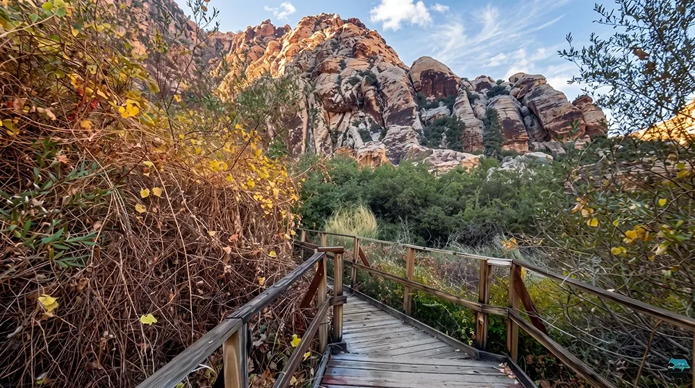
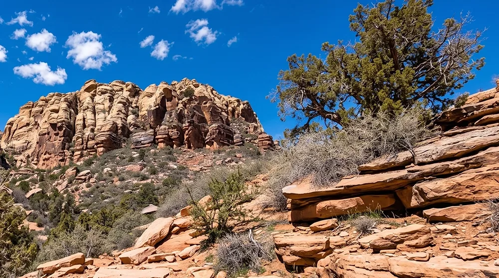
The trail's name and history are genuinely distinctive: Spring Mountain Youth Camp residents have partnered with federal land managers for over 30 years building and maintaining trails in this region, and this trail is a direct product of that ongoing program. It runs along the base of the Wilson Cliffs, part of the same escarpment system visible from many other Red Rock trails, with views from the two named promontory viewpoints along the way. Continuing past the Ice Box Canyon Trail junction links toward Dale's Trail, giving ambitious hikers room to extend the day.
Best Time to Visit and Conditions
Fall through spring is most comfortable given the limited shade along the route.
Practical Advice for New Visitors
- Bring at least 1-2 liters of water per person.
- Wear sturdy shoes for the two steep sections.
- Pack sun protection — there's little shade.
- Book a Scenic Drive reservation if visiting October through May.
- This trail is named for the Spring Mountain Youth Camp, whose residents have helped build and maintain Red Rock trails for over 30 years.
- The Red Rock Canyon Conservancy runs public guided hikes on this trail — check their calendar.
- Continuing past the Ice Box Canyon Trail junction connects toward Dale's Trail for a longer day.
- Confirm current pet rules before bringing a dog.
A short, moderate hike with a genuinely unusual backstory, SMYC Trail is a worthwhile stop for hikers interested in the human history behind Red Rock's trail network, not just its scenery.