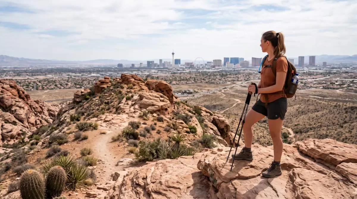
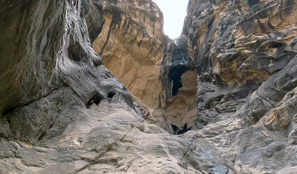
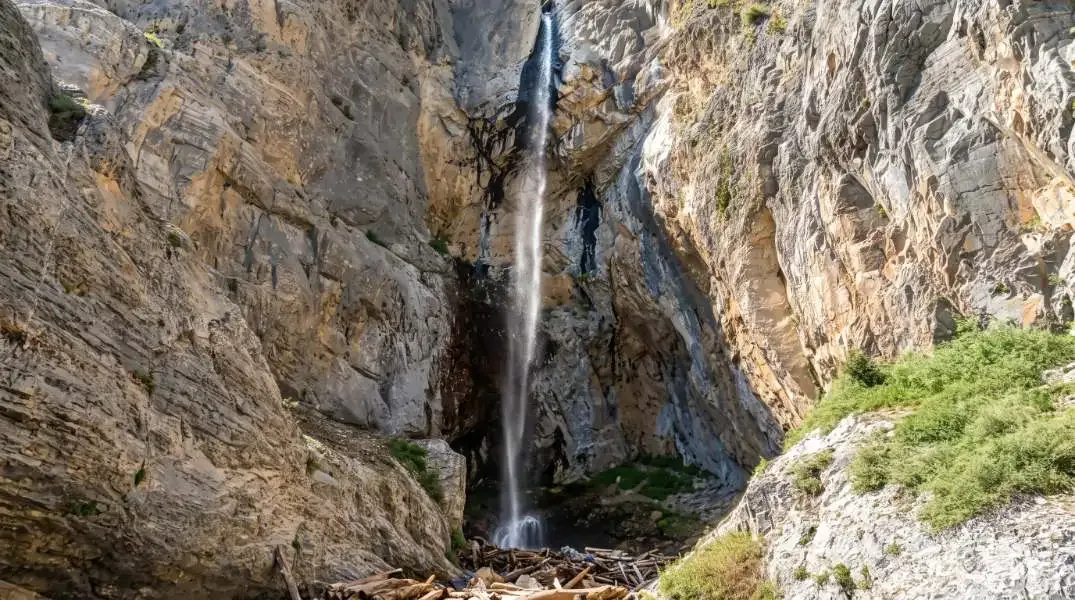
1.2 mi RT · 534 ft gain · ~1 hr · Moderate · ~20 min from the Strip
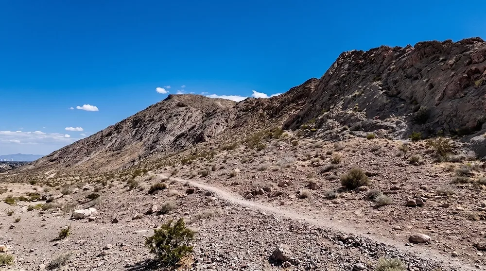
Trailhead & parkingLone Mountain Regional Park lot, 4425 N. Jensen St — ample parking, restrooms on-site.
The best convenience-to-payoff ratio on this list — a short, steep climb from a proper city park to a genuine 360-degree view that includes the Strip skyline, the Spring Mountains, and Mount Charleston. No long drive, no entrance fee, no permit.
Who it's wrong forAnyone wanting a long outing or shade — this is short, steep, and fully exposed near the summit. Not ideal for young kids given the loose rock on the final push.
Best time to goSunrise or sunset, year-round — avoid summer midday given the total lack of shade.
From our hikersEditorial estimate — not yet from visitor reports
Actual time: 45 min–1 hrParking: LowCrowding: Moderate, mostly locals
4.4 mi RT · 1,000+ ft gain · ~3 hrs · Difficult · ~20 min from the Strip
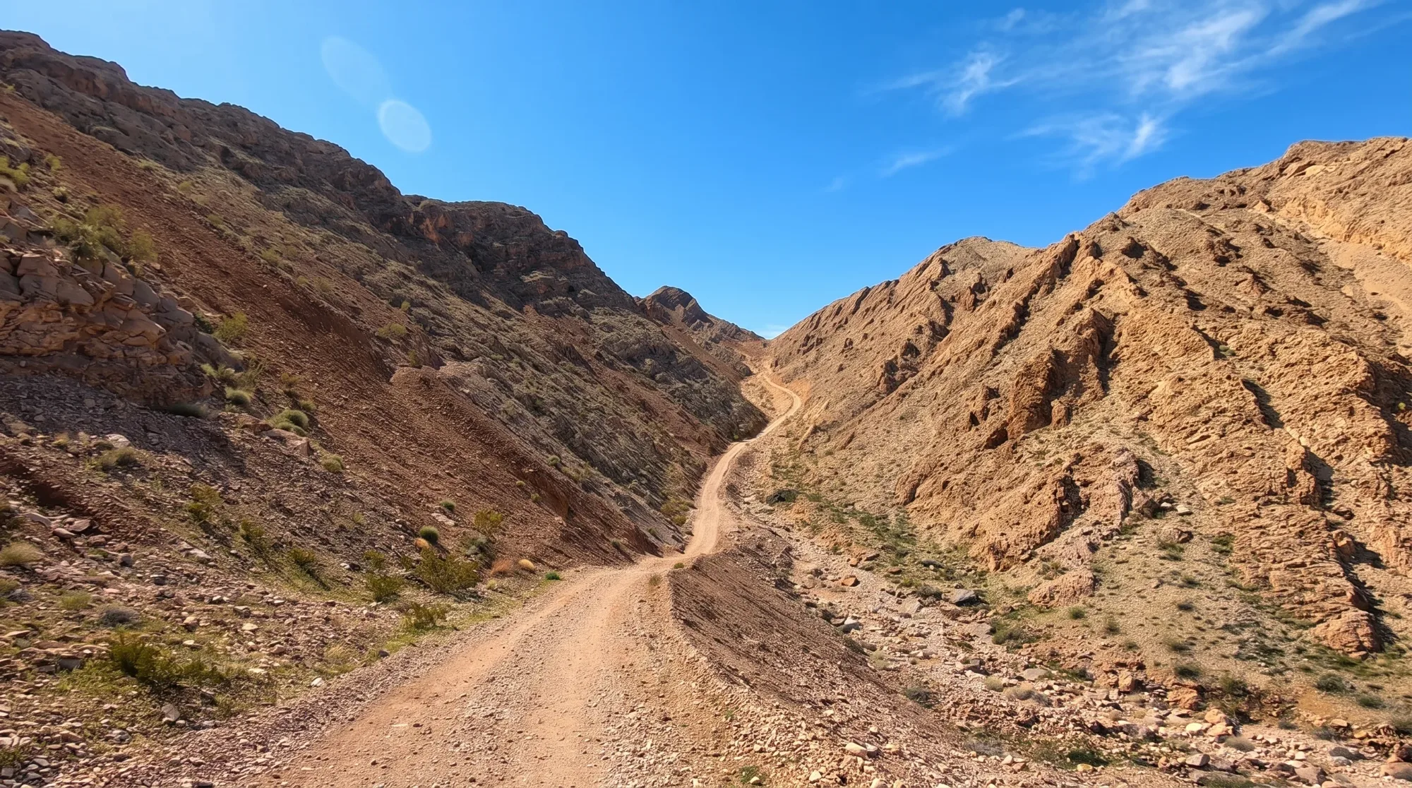
Trailhead & parkingInformal roadside parking off E Lake Mead Blvd near Sunrise Manor — no formal lot.
The hike locals do specifically for the Strip view — a steep, unmaintained BLM service road to a summit with the single most complete panorama of the valley on this list: the Strip, Red Rock Canyon, Mount Charleston, Lake Mead, and Nellis Air Force Base all from one point.
Who it's wrong forAnyone wanting a maintained, signed trail — this follows an old service road with zero shade or infrastructure. A real workout, not a casual walk.
Fees & permitsNone — free BLM land.
Best time to goCool-season mornings, or near sunset for the Strip-lights view. Avoid entirely in summer heat.
From our hikersEditorial estimate — not yet from visitor reports
Actual time: ~3 hrsParking: LowCrowding: Light — mostly locals
4.6 mi RT · ~2,000 ft gain · 4–5 hrs · Hard · ~30 min from the Strip
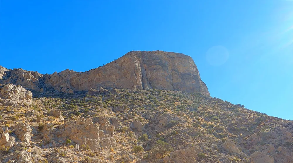
Trailhead & parkingSandstone Quarry lot, Red Rock Scenic Drive — fills by 8–9am weekends.
Red Rock Canyon's toughest maintained trail, and the Strip view here comes with the reward of red sandstone and gray limestone peaks in the same frame — best at sunrise, when the Strip and surrounding rock both catch early light.
Who it's wrong forBeginners — 2,000 feet of gain in 2.3 miles with no flat recovery sections. Not a trail to attempt without real cardio conditioning.
Fees & permits$20/vehicle Red Rock Canyon entrance fee. Scenic Drive timed-entry reservation required Oct 1–May 31, 8am–5pm.
Best time to goCool-season mornings only, starting by 7am.
From our hikersEditorial estimate — not yet from visitor reports
Actual time: 4–5 hrsParking: HighCrowding: Moderate
2.2 mi RT · ~450 ft gain · 1.5–2 hrs · Moderate · ~30 min from the Strip
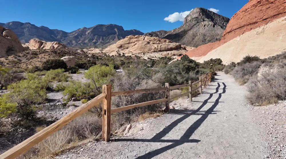
Trailhead & parkingSandstone Quarry lot, Red Rock Scenic Drive — shared with Turtlehead Peak, fills early.
The Strip view here is a bonus, not the destination — a faint spur off the main path to the tanks reveals the Strip across the horizon on clear days. Come for the sandstone amphitheater and rainwater tanks; the skyline is a nice extra.
Who it's wrong forAnyone making this trip specifically for the Strip view — it's an optional, easy-to-miss spur, not a dedicated overlook. Also not for bad knees given the final scramble.
Fees & permits$20/vehicle Red Rock Canyon entrance fee. Scenic Drive timed-entry reservation required Oct 1–May 31, 8am–5pm.
Best time to goOctober through April, first two hours after sunrise.
From our hikersEditorial estimate — not yet from visitor reports
Actual time: 1.5–2 hrsParking: HighCrowding: Busy weekend mornings
5.2–7 mi RT · ~1,500–1,835 ft gain · 2–4 hrs · Strenuous (Class 2 scrambling) · ~25 min from the Strip
Trailhead & parkingInformal pullout near the signed "Sunrise Mountain" turnoff on E Lake Mead Blvd.
A genuinely unusual pairing — the Strip to the west, Lake Mead to the east, both from the same black volcanic summit. The most physically demanding entry on this list, real Class 2 boulder-hopping, not a maintained trail.
Who it's wrong forAnyone not comfortable with genuine hands-on scrambling over boulders — there's no trail here, just wash-walking followed by real climbing.
Fees & permitsNone — BLM land, not part of Lake Mead NRA's fee area.
Best time to goFall through spring — fully exposed volcanic rock with no shade.
From our hikersEditorial estimate — not yet from visitor reports
Actual time: 2–4 hrsParking: LowCrowding: Light
9.6–10 mi RT · ~3,400 ft gain · 6.5–8 hrs · Strenuous · ~45 min from the Strip
Trailhead & parkingCathedral Rock Trailhead, Kyle Canyon Road — roughly 75 spots across two lots.
The Strip view here is the most distant on this list, and the hardest-earned — a full-day mountain summit from Kyle Canyon that pairs the skyline with Charleston Peak, Mummy Mountain, and Turtlehead Peak all in one frame.
Who it's wrong forAnyone without a full day and serious cardio conditioning — this is 9.6+ miles and 3,400 feet of gain, not a casual overlook hike.
Fees & permitsSources disagree on a trailhead fee — confirm current signage before you go.
Best time to goLate June through mid-September, the only reliable snow-free window.
From our hikersEditorial estimate — not yet from visitor reports
Actual time: 6.5–8 hrsParking: ModerateCrowding: Light