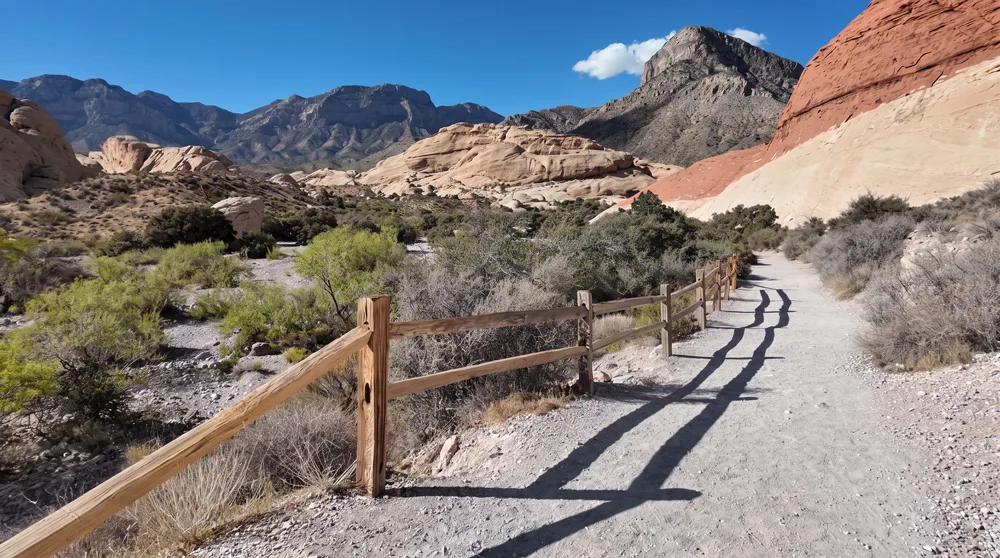
34 mi total paved loop (walk any section) · Wheelchair: Yes · Stroller: Yes
Trailhead & parkingMultiple access points in Henderson, Boulder City, and Railroad Pass — pick any trailhead and go as far as comfortable.
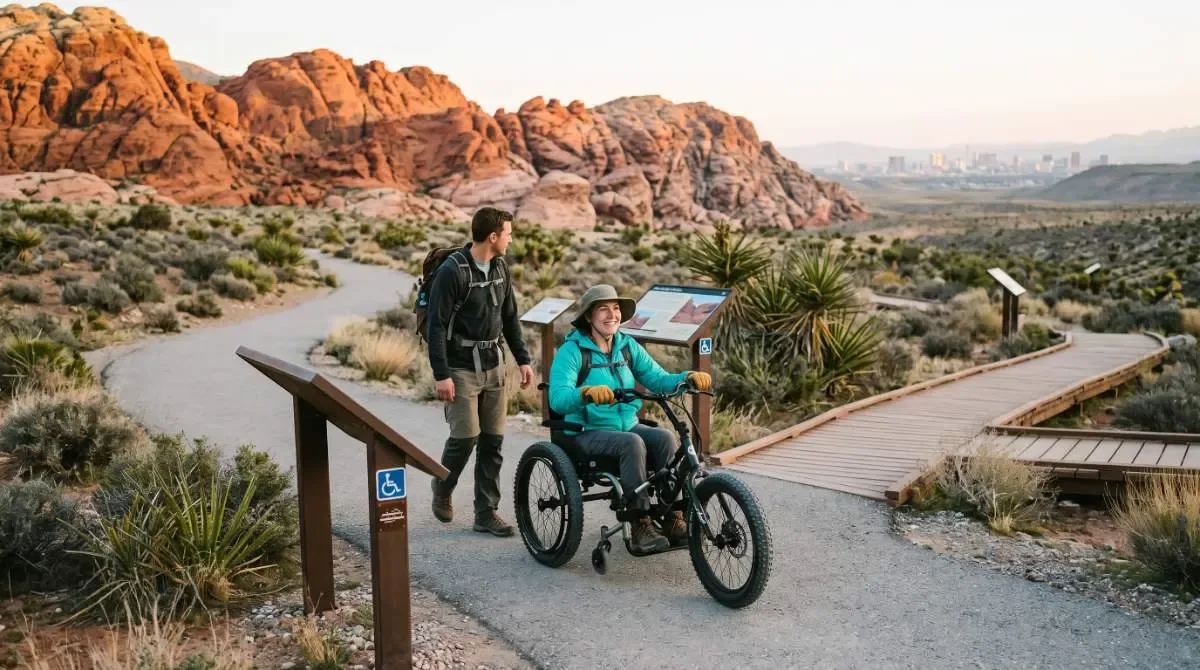
The most genuinely wheelchair-accessible trail on this whole site — fully paved, with sections flat enough for an easy roll, though some stretches climb noticeably. Pick your access point based on how much grade you want.
Who it's wrong forAnyone wanting a short, self-contained loop — this is a 34-mile network, not a single defined trail; you choose your own turnaround.
Fees & permitsFree on Henderson/Boulder City/Railroad Pass sections; the portion inside Lake Mead NRA requires the standard park entrance fee.
Best time to goAny season for shorter sections; avoid full midday sun in summer given the paved surface's heat.
From our hikersEditorial estimate — not yet from visitor reports
Actual time: Varies entirely by chosen distanceParking: LowCrowding: Light to moderate, popular with cyclists too
~3.7 mi Nature Preserve Loop (shorter options) · Wheelchair: Yes · Stroller: Yes
Trailhead & parkingFree parking at the main Nature Preserve/Nature Center lot.
Paved, flat, shaded-in-sections riparian trails with a real nature center — genuinely one of the easiest, most comfortable accessible outings on this list.
Who it's wrong forAnyone wanting desert or mountain scenery — this is a wetland ecosystem, a different experience entirely.
Best time to goAny time, year-round.
From our hikersEditorial estimate — not yet from visitor reports
Actual time: 20 min to 1.5 hrs depending on distance chosenParking: LowCrowding: Light to moderate
~0.4 mi RT · Gently sloped · Wheelchair: Yes · Stroller: Yes
Trailhead & parkingSmall dedicated lot on Deer Creek Road.
A short, gently sloped walk to an overlook with genuine atomic-era history — accessible and quick, good for a brief but real outing.
Who it's wrong forAnyone wanting a longer experience — this is intentionally short.
From our hikersEditorial estimate — not yet from visitor reports
Actual time: 20–30 minParking: LowCrowding: Light
1.5 mi one-way / 3 mi RT · ~511 ft gain · Wheelchair: Yes · Stroller: Yes
Trailhead & parkingStandard Mt. Charleston-area trailhead parking.
Built with real CCC-era history along the way, and confirmed accessible — a genuine hike, not just a short stroll, that still works for wheelchair users.
Who it's wrong forAnyone expecting zero elevation change — there is real gain over the 1.5 miles, just at a manageable, accessible grade.
Best time to goSummer for the cool mountain air.
From our hikersEditorial estimate — not yet from visitor reports
Actual time: 1.5–2 hrsParking: LowCrowding: Light
~0.1 mi · Minimal grade · Wheelchair: Yes · Stroller: Yes
Trailhead & parkingSmall pullout near the trailhead.
A very short, confirmed-accessible walk through genuine 1930s CCC history — a quick, easy add-on to a Mt. Charleston day.
Who it's wrong forAnyone wanting a real workout — this is intentionally brief.
From our hikersEditorial estimate — not yet from visitor reports
Actual time: Under 15 minParking: LowCrowding: Light
Up to 7.5 mi RT (shorter turnarounds) · Wheelchair: Partial · Stroller: Yes
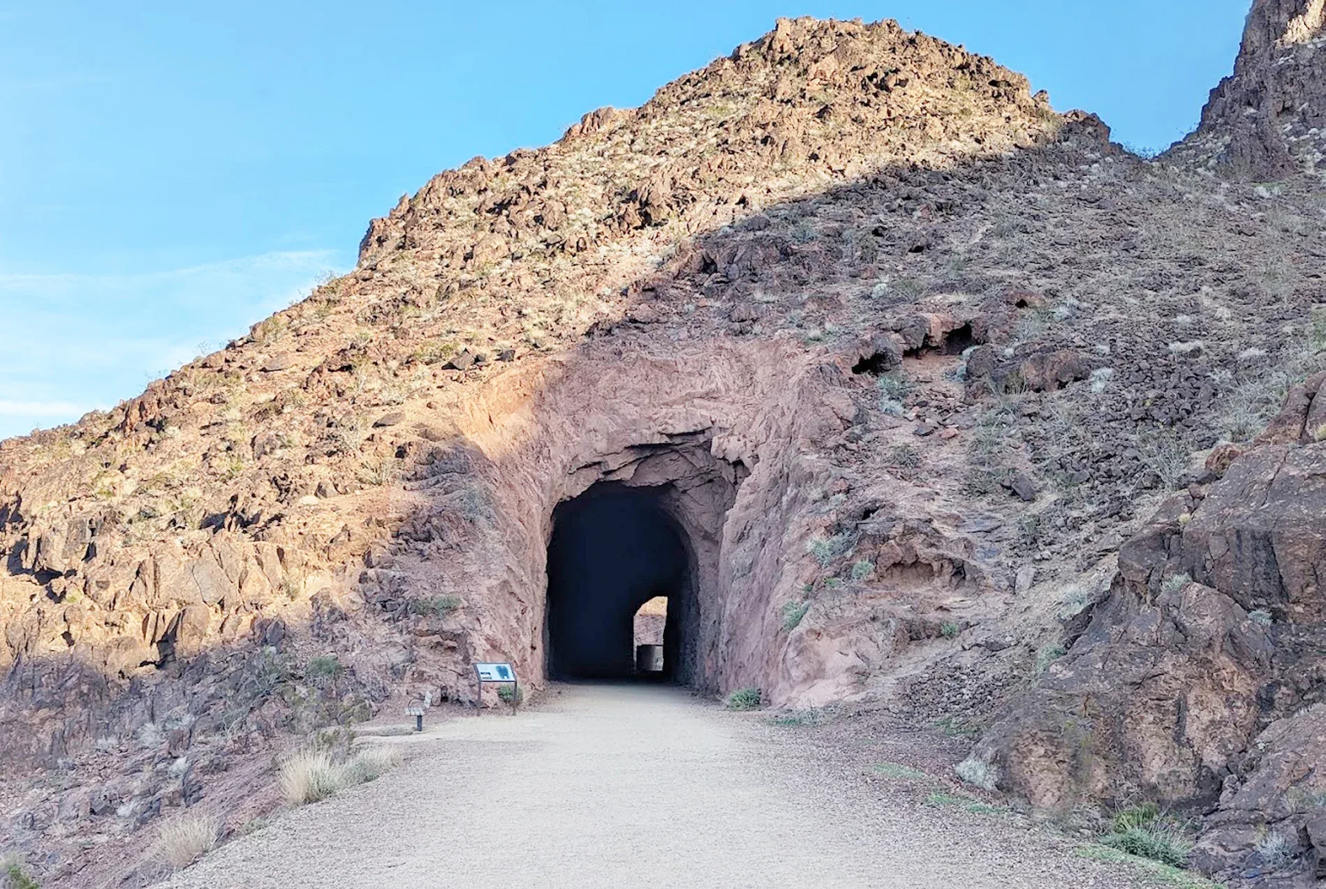
Trailhead & parkingSpacious lot near the Lake Mead NRA entrance.
A wide, flat former railroad grade — confirmed stroller-friendly and largely wheelchair-passable, though the tunnel sections may have uneven spots worth checking in advance.
Who it's wrong forAnyone needing a fully confirmed, zero-compromise wheelchair surface — treat this as largely accessible, not guaranteed perfect throughout.
Fees & permitsLake Mead NRA entrance fee may apply depending on access point.
Best time to goCool-season mornings, fully exposed with no shade.
From our hikersEditorial estimate — not yet from visitor reports
Actual time: Varies by chosen turnaroundParking: LowCrowding: Light to moderate
1.5 mi RT · ~144 ft gain · Wheelchair: Partial · Stroller: Partial
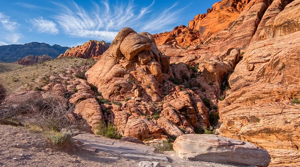
Trailhead & parkingRed Spring Picnic Area, restrooms on-site.
Real Red Rock scenery with a partially accessible surface — check current trail conditions before relying on it for a wheelchair, but many sections are manageable.
Who it's wrong forAnyone needing full, guaranteed wheelchair access along the entire route.
Fees & permitsFree — outside the Red Rock Canyon Scenic Drive fee gate, no reservation needed.
Best time to goAny cool-season time of day.
From our hikersEditorial estimate — not yet from visitor reports
Actual time: 45 min–1 hrParking: LowCrowding: Light to moderate
0.5–0.75 mi RT · Minimal gain · Wheelchair: Partial · Stroller: Partial
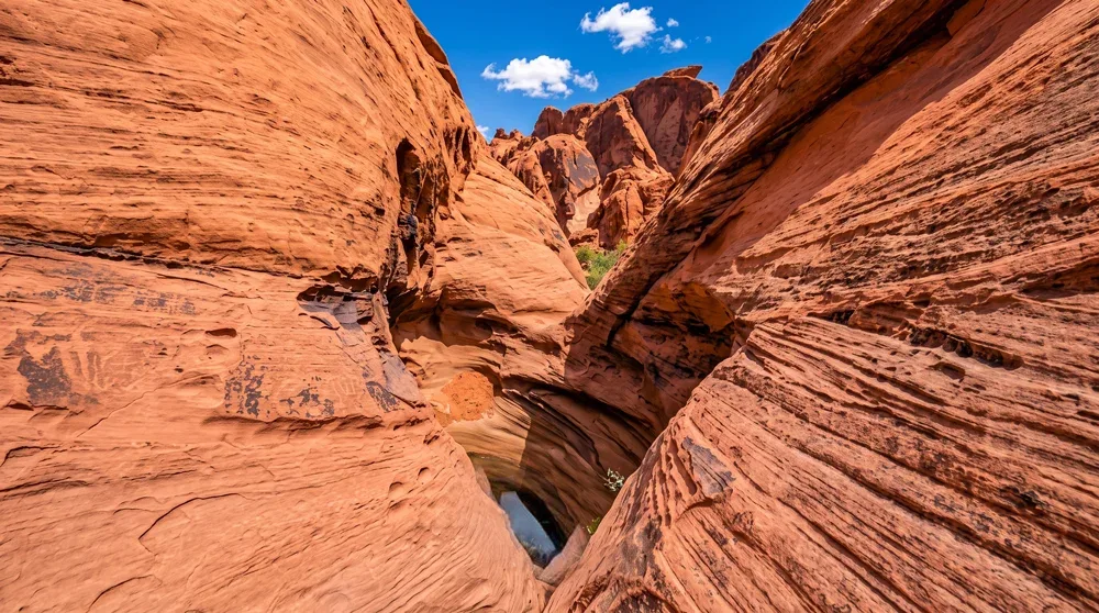
Trailhead & parkingTrailhead lot doubles as a picnic area, restrooms on-site.
A flat wash walk with real petroglyphs — partially accessible; the surface is packed sand/dirt rather than pavement, manageable for many but not a guaranteed smooth roll.
Who it's wrong forAnyone needing a paved surface specifically.
Fees & permits$10/vehicle Nevada plates, $15/vehicle non-Nevada, Valley of Fire State Park entrance fee.
Best time to goAny time, year-round.
From our hikersEditorial estimate — not yet from visitor reports
Actual time: 20–30 minParking: LowCrowding: Moderate
1.1 mi loop · Minimal gain · Wheelchair: Partial · Stroller: Partial
Trailhead & parkingWillow Spring picnic area lot.
A flat loop past real pictographs and agave-roasting pits, partially accessible on natural desert surface.
Who it's wrong forAnyone needing confirmed full accessibility — treat as partially passable, check current conditions.
Fees & permits$20/vehicle Red Rock Canyon entrance fee. Scenic Drive timed-entry reservation required Oct 1–May 31, 8am–5pm.
Best time to goAny cool-season day.
From our hikersEditorial estimate — not yet from visitor reports
Actual time: 1–1.25 hrsParking: LowCrowding: Light
0.2–0.25 mi RT · ~10–40 ft change · Wheelchair: Partial · Stroller: Partial
Trailhead & parkingRight next to the Valley of Fire Visitor Center, restrooms and water on-site.
A very short walk to a striking sight, right next to the visitor center — partially accessible, easy to scout in person before committing since it's so close to the center itself.
Who it's wrong forAnyone needing a guaranteed smooth, paved surface the entire way.
Fees & permits$10/vehicle Nevada plates, $15/vehicle non-Nevada, Valley of Fire State Park entrance fee.
Best time to goAny time — pair with the visitor center.
From our hikersEditorial estimate — not yet from visitor reports
Actual time: 10–15 minParking: LowCrowding: Moderate
Before You Go
"Partial" means real, not perfect. Several trails on this list are rated "Partial" for wheelchair access in our database — that means genuinely passable sections mixed with rougher, natural-surface stretches, not a guarantee of a smooth ride start to finish. Call ahead or check recent trip reports for current surface conditions if you need certainty.
The top 5 are the confirmed-accessible tier. River Mountains Loop Trail, Clark County Wetlands Park, Desert View Overlook, Acastus Trail, and Mahogany Grove CCC Trail are rated fully accessible in our data — start there if reliability matters more than variety.
Heat applies here too. Paved surfaces (River Mountains Loop Trail especially) can get genuinely hot underfoot and in wheels in summer — plan for cooler hours regardless of the trail's accessibility rating.
Ranked using official land-manager data (distance, elevation, fees, and current reservation rules) plus on-the-ground editorial review of each trail. Hiker-submitted time, parking, and crowding reports will be folded in as they come in — every hiker-feedback figure above is currently our own estimate, clearly marked as such. How we rank these.
Frequently Asked Questions
What's the most wheelchair-accessible hike near Las Vegas?
River Mountains Loop Trail — a genuinely paved 34-mile network where you can choose flatter or steeper sections depending on need, plus Clark County Wetlands Park's paved Nature Preserve Loop.
Are there accessible trails with real scenery, not just flat paths?
Acastus Trail on Mt. Charleston is confirmed accessible and still a genuine 3-mile hike with real elevation gain at a manageable, accessible grade — not just a flat stroll.
What does "Partial" wheelchair accessibility mean on this list?
It means the trail has real passable sections but also rougher natural-surface stretches — not a guarantee of full accessibility start to finish. Check current conditions if reliability is essential.
Is Historic Railroad Trail wheelchair accessible?
It's confirmed stroller-friendly and largely passable for wheelchairs on its wide, flat grade, but the historic tunnel sections may have uneven spots — treat it as largely, not guaranteed, accessible.