17.5 mi RT · ~4,890–5,000 ft total change · 8–9 hrs · Very Strenuous
Trailhead & parkingSouth Loop trailhead near Cathedral Rock picnic area, Mt. Charleston.
The single hardest official trail on this list — a genuine mountain summit push to the highest point in the Spring Mountains, a full-day expedition, not a hike to underestimate.
Who it's wrong forAnyone without serious hiking fitness, a pre-dawn start, and real preparation — this is not a casual weekend outing.
Best time to goLate June through September, snow-free window only.
From our hikersEditorial estimate — not yet from visitor reports
Actual time: 8–9 hrs, some hikers report 10+Parking: ModerateCrowding: Light — self-selecting for serious hikers
~20.6–20.8 mi RT · ~5,515 ft total · 12–13 hrs · Very Strenuous
Trailhead & parkingNorth Loop trailhead near Mt. Charleston Lodge.
The longer, harder alternate route to the same summit as South Loop — passes the ancient Raintree bristlecone (a worthwhile turnaround for most hikers) before continuing to the peak.
Who it's wrong forAnyone without genuine mountaineering-level endurance for the full summit — most hikers should treat the Raintree (5.4 mi RT) as the real destination instead.
Best time to goLate June through September for the full summit route.
From our hikersEditorial estimate — not yet from visitor reports
Actual time: 12–13 hrs for the full summitParking: ModerateCrowding: Light on the full route, moderate to the Raintree turnaround
9.6–10 mi RT · ~3,400 ft gain · 6.5–8 hrs · Strenuous
Trailhead & parkingSouth Loop trailhead, same as the Charleston Peak route.
A serious summit push in its own right, a notch below Charleston Peak itself but still a genuine full-day mountain hike with real valley views.
Who it's wrong forAnyone without a full day and serious cardio conditioning.
Fees & permitsSources disagree on a fee at the primary trailhead — confirm current signage before you go.
Best time to goSummer, snow-free window.
From our hikersEditorial estimate — not yet from visitor reports
Actual time: 6.5–8 hrsParking: ModerateCrowding: Light
12–15.8 mi RT · Summit 6,958+ ft · 6–7+ hrs · Technical (Class 3–4)
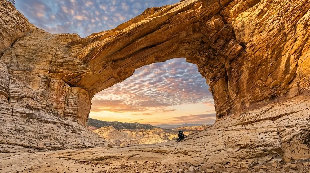
Trailhead & parkingWillow Spring Picnic Area (Scenic Drive) or Lovell Canyon Road.
The only entry on this list that requires actual scrambling skill, not just fitness — genuinely technical terrain in Red Rock Canyon.
Who it's wrong forAnyone without prior Class 3–4 scrambling experience, full stop.
Fees & permits$20/vehicle if via the Willow Spring/Scenic Drive approach.
Best time to goCool season, never solo.
From our hikersEditorial estimate — not yet from visitor reports
Actual time: 6–8+ hrs given the technical terrainParking: LowCrowding: Very light
~11.8 mi RT · ~2,650 ft gain · 5–7 hrs · Strenuous
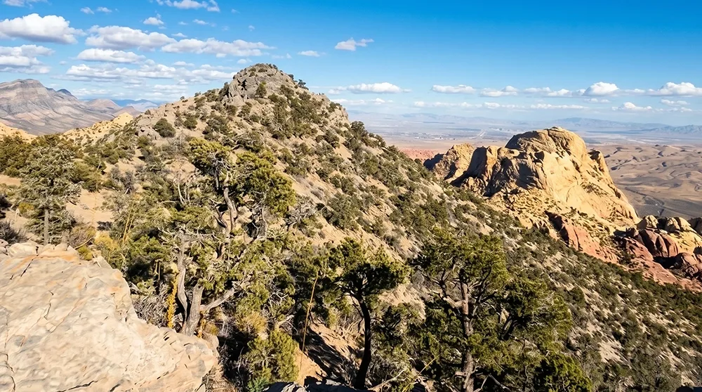
Trailhead & parkingScenic Drive access.
The longest, toughest non-technical summit inside Red Rock Canyon itself — a full-day undertaking with real solitude as the reward.
Who it's wrong forAnyone without a full day and genuine hiking endurance.
Fees & permits$20/vehicle Red Rock Canyon entrance fee. Scenic Drive timed-entry reservation required Oct 1–May 31, 8am–5pm.
Best time to goCool season, earliest possible start.
From our hikersEditorial estimate — not yet from visitor reports
Actual time: 5–7 hrsParking: ModerateCrowding: Light
~11.4 mi · Strenuous · ~6 hrs · Strenuous
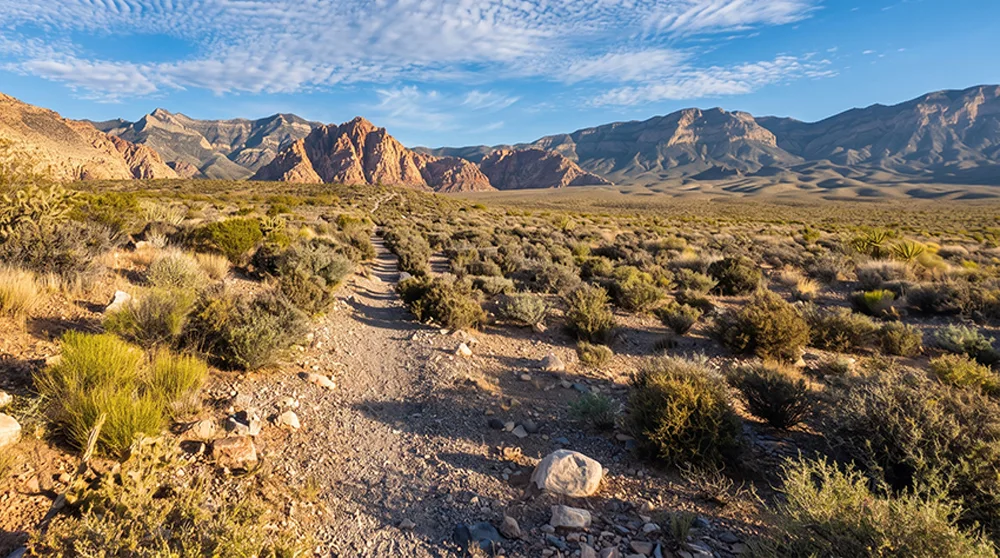
Trailhead & parkingScenic Drive access.
The longest trail in Red Rock Canyon by distance — a full loop around the park's interior, more an endurance test than a technical challenge.
Who it's wrong forAnyone without a full day's time budget — this is about distance and time on feet, not steepness.
Fees & permits$20/vehicle Red Rock Canyon entrance fee. Scenic Drive timed-entry reservation required Oct 1–May 31, 8am–5pm.
Best time to goCool season, earliest possible start.
From our hikersEditorial estimate — not yet from visitor reports
Actual time: ~6 hrsParking: ModerateCrowding: Light
6.6–7.1 mi RT · ~1,440 ft gain · 4–6 hrs · Strenuous, off-trail
Trailhead & parkingCottonwood Wash access, Lake Mead NRA, informal parking.
A genuine off-trail scramble to a fault-split volcanic summit above Lake Mead's Overton Arm — real route-finding required, not a marked path.
Who it's wrong forAnyone uncomfortable navigating without a marked trail — this requires real route-finding skill.
Fees & permits$25/vehicle (1–7 day pass) or $15/person, Lake Mead NRA entrance fee, cashless/card only.
Best time to goOctober–April, fully exposed volcanic terrain.
From our hikersEditorial estimate — not yet from visitor reports
Actual time: 4–6 hrsParking: LowCrowding: Very light
5.2–7 mi RT · ~1,500–1,835 ft gain · 2–4 hrs · Strenuous, Class 2 scrambling
Trailhead & parkingBLM land access above Henderson, informal parking.
A genuine Class 2 scramble up black volcanic rock — steep, loose terrain and a summit that feels remote despite being close to Henderson.
Who it's wrong forAnyone uncomfortable on loose volcanic scree — footing is genuinely unstable in sections.
Best time to goCool season mornings.
From our hikersEditorial estimate — not yet from visitor reports
Actual time: 2.5–3.5 hrsParking: LowCrowding: Light
4.6 mi RT · ~2,000 ft gain · 4–5 hrs · Hard
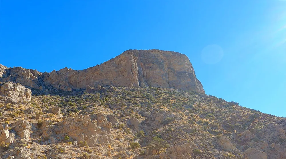
Trailhead & parkingSandstone Quarry lot, Scenic Drive.
Shorter than most of this list but genuinely relentless — 2,000 feet of gain packed into 2.3 miles one-way, no flat sections to recover on.
Who it's wrong forBeginners — this is a real cardio test disguised as a shorter distance.
Fees & permits$20/vehicle Red Rock Canyon entrance fee. Scenic Drive timed-entry reservation required Oct 1–May 31, 8am–5pm.
Best time to goCool-season mornings, start by 7am.
From our hikersEditorial estimate — not yet from visitor reports
Actual time: 4–5 hrsParking: HighCrowding: Moderate
~6.2 mi · ~1,070 ft gain · ~3.5 hrs · Moderate to Strenuous
Trailhead & parkingScenic Drive access.
A full circuit around the White Rock Hills — sources disagree on the difficulty label, but the sustained distance and elevation make it a genuine half-day commitment either way.
Who it's wrong forAnyone expecting a short outing based on the lower difficulty rating some sources give it.
Fees & permits$20/vehicle Red Rock Canyon entrance fee. Scenic Drive timed-entry reservation required Oct 1–May 31, 8am–5pm.
Best time to goCool season, morning start.
From our hikersEditorial estimate — not yet from visitor reports
Actual time: 3.5–4 hrsParking: LowCrowding: Light
Before You Go
These are not casual outings. Every trail on this list requires real fitness, a full-day time budget, or genuine technical/route-finding skill — several require all three. Tell someone your plan and expected return time before you go; cell service is unreliable to nonexistent on most of these.
Water and turnaround times matter more here than anywhere else on this site. A summit push that takes 8+ hours needs a hard turnaround time regardless of how close you are — getting caught on an exposed ridge or scramble after dark is the real risk, not just the distance itself.
Season matters even more for the high-elevation routes. South Loop, North Loop, and Griffith Peak all sit above 8,000 feet at points — snow can linger into early summer some years. Check current conditions, not just the calendar.
Bridge Mountain and Hamblin Mountain require skills beyond fitness — Class 3–4 scrambling and off-trail route-finding respectively. Don't attempt either as your first hike in that category.
Ranked using official land-manager data (distance, elevation, fees, and current reservation rules) plus on-the-ground editorial review of each trail. Hiker-submitted time, parking, and crowding reports will be folded in as they come in — every hiker-feedback figure above is currently our own estimate, clearly marked as such. How we rank these.
Frequently Asked Questions
What's the hardest hike near Las Vegas?
South Loop Trail to Charleston Peak — 17.5 miles round trip with nearly 5,000 feet of total elevation change, an 8–9 hour full-day mountain summit.
What's the hardest technical (scrambling) hike near Las Vegas?
Bridge Mountain in Red Rock Canyon — genuine Class 3–4 scrambling, not standard hiking, and should only be attempted with prior scrambling experience.
Is Turtlehead Peak actually that hard for its length?
Yes — 4.6 miles round trip sounds short compared to the mountain summits on this list, but 2,000 feet of gain with no flat recovery sections makes it a genuine cardio test.
Do I need special skills for any of these hikes?
Bridge Mountain requires real Class 3–4 scrambling experience, and Hamblin Mountain requires comfort with off-trail route-finding — both are a different category of difficulty than the summit hikes that just require fitness and time.