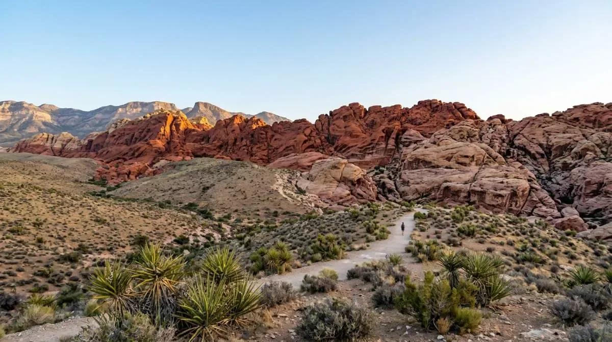
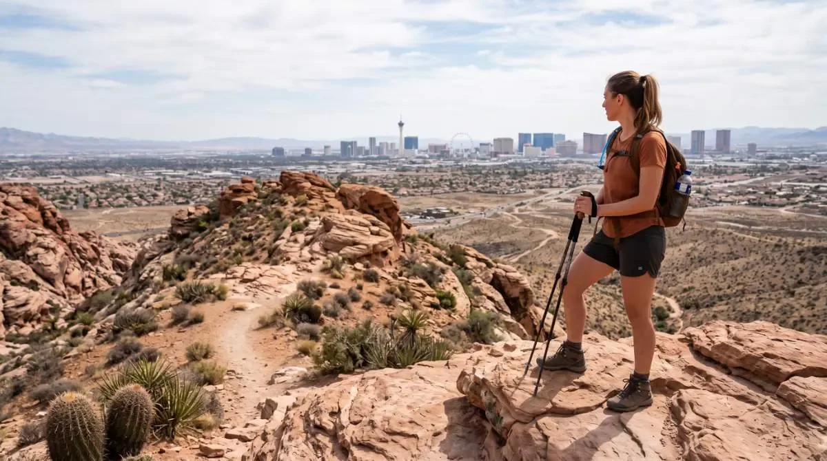
2.2 mi RT · ~450 ft gain · 1.5–2 hrs · Moderate · ~30 min from the Strip
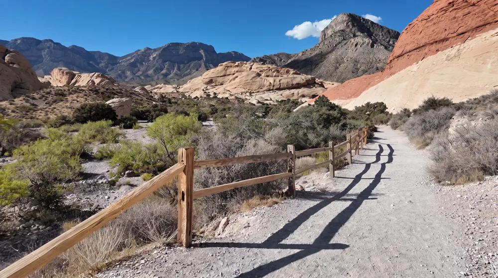
Trailhead & parkingSandstone Quarry parking area, about 1.5 miles into the Scenic Drive. The lot is small and regularly full by 9am on weekends — arrive before 8am or plan to circle back.
This is the one to send someone who wants proof Red Rock is worth the drive without committing to a full day. The trail climbs steadily over slickrock to a natural sandstone bowl that holds rainwater tanks after storms, with a sudden Strip-and-valley view at the top that most first-timers don't see coming.
Who it's wrong forAnyone with a knee or ankle injury — the last quarter-mile is a scramble over uneven slickrock with real exposure, not a maintained tread. Not stroller- or wheelchair-friendly past the first flat stretch.
Fees & permits$20/vehicle Red Rock Canyon entrance fee. Scenic Drive timed-entry reservation required Oct 1–May 31, 8am–5pm — see Before You Go.
Best time to goOctober through April, first two hours after sunrise. Full sun exposure the entire way — avoid entirely May–September midday.
From our hikersEditorial estimate — not yet from visitor reports
Actual time: Most hikers report 1.5–2 hours including photo stops at the topParking: High — lot fills by 8–9am on weekendsCrowding: Busy but not packed on weekday mornings; can feel like a line at the final scramble on weekend afternoons
1.5 mi RT · ~100 ft gain · 45 min–1 hr · Easy · ~50 min from the Strip
⚠ Closed in summer (Valley of Fire's park-wide heat closure) — open Fall, Winter, and Spring only.
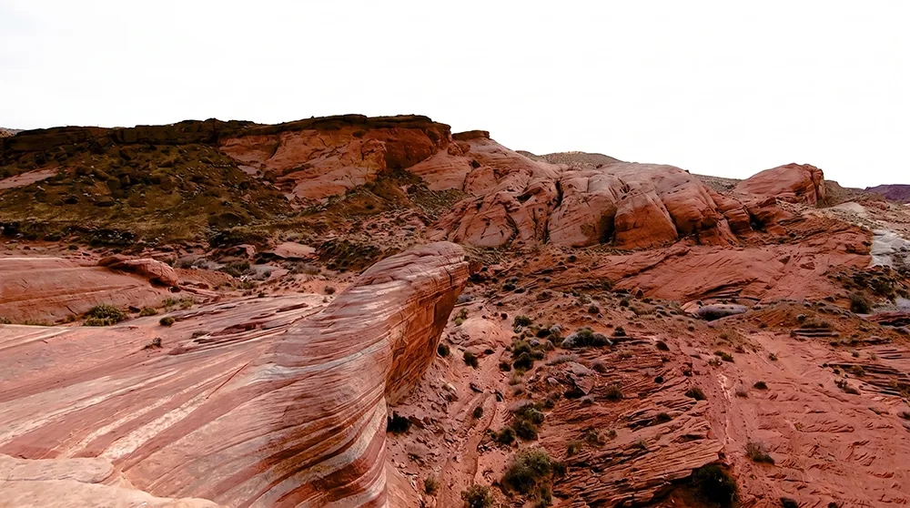
Trailhead & parkingA gravel roadside pullout on White Domes Road — no formal lot, maybe 20 car spaces. Fills by mid-morning on weekends; there is no overflow area, so a full lot means driving on.
The most photographed trail in the state park for a reason — a short, flat walk through swirling red-and-white sandstone that ends at a wave-shaped rock formation. Easy enough for almost anyone, which is exactly why it's crowded.
Who it's wrong forAnyone chasing solitude — this is the single most Instagrammed spot in Valley of Fire, and it looks like it most mornings. Also unshaded the entire way; a bad pick after 10am from May to September.
Fees & permits$10/vehicle Nevada plates, $15/vehicle non-Nevada, Valley of Fire State Park entrance fee. No reservation system.
Best time to goRight at park opening, or the last two hours before sunset for the best light and thinnest crowds.
From our hikersEditorial estimate — not yet from visitor reports
Actual time: 45 minutes to an hour is typical, longer with photosParking: High — no real lot, fills by mid-morningCrowding: Consistently the busiest trail in the park
4.6 mi RT · ~2,000 ft gain · 4–5 hrs · Hard · ~30 min from the Strip
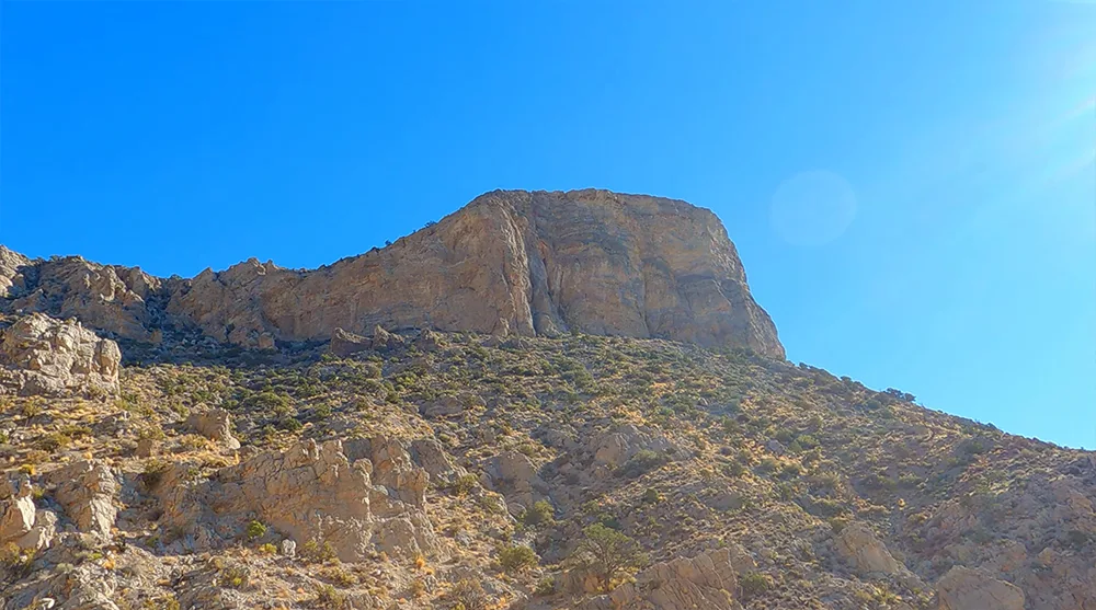
Trailhead & parkingSame Sandstone Quarry lot as Calico Tanks — same early-arrival advice applies, doubly so since this hike takes most of a morning.
The maintained-trail answer to "I want a real workout that's still officially a trail." Steady, relentless climbing to a summit with a 360-degree view over the entire valley — genuinely one of the best payoffs in the whole list, for hikers who can handle the effort.
Who it's wrong forBeginners, or anyone without real cardio conditioning. This is 2,000 feet of gain in 2.3 miles — no flat sections to recover on. Also a poor choice for anyone hiking alone with no cell service through most of the route.
Fees & permits$20/vehicle Red Rock Canyon entrance fee. Scenic Drive timed-entry reservation required Oct 1–May 31, 8am–5pm.
Best time to goCool-season mornings only (Nov–Mar). Start by 7am to finish the exposed upper section before peak heat.
From our hikersEditorial estimate — not yet from visitor reports
Actual time: 4–5 hours round trip is typical for a fit hiker, longer for a first attemptParking: High — same small lot as Calico TanksCrowding: Moderate — fewer hikers than Calico Tanks since it filters out casual walkers
3 mi RT · ~1,100 ft gain · 2–3 hrs · Moderate · ~50 min from the Strip
⚠ Closed until Fall 2027 (2023 storm damage) — check current USFS alerts before planning a trip specifically for this trail.
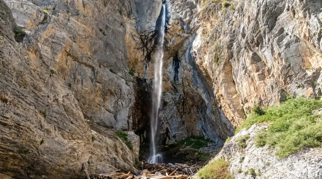
Trailhead & parkingMary Jane Falls trailhead lot at the end of Echo Road in Kyle Canyon — modest size, fills by mid-morning on spring weekends when the falls are running.
The closest thing to an actual waterfall near Las Vegas, and it's a real one — not a trickle — for a few weeks each spring during snowmelt. Cool pine-forest air the whole way up, a genuine break from desert heat even in summer.
Who it's wrong forAnyone hiking specifically to see the falls flowing outside of March–May — it runs dry most of the year. Check current conditions before making the drive for the waterfall itself.
Fees & permitsNone — Mt. Charleston/Kyle Canyon has no entrance fee for this trailhead.
Best time to goLate March through May for the waterfall; June–September for cool-air relief regardless of water flow.
From our hikersEditorial estimate — not yet from visitor reports
Actual time: 2–3 hours is typical, closer to 3 if the falls are flowing and everyone stops to explore the ice caves behind themParking: Moderate — small lot, worst on spring weekendsCrowding: Heavy during peak snowmelt weekends, quiet the rest of the year
1.1 mi loop · ~100 ft gain · ~45 min · Easy · ~50 min from the Strip
⚠ Closed in summer (Valley of Fire's park-wide heat closure) — open Fall, Winter, and Spring only.
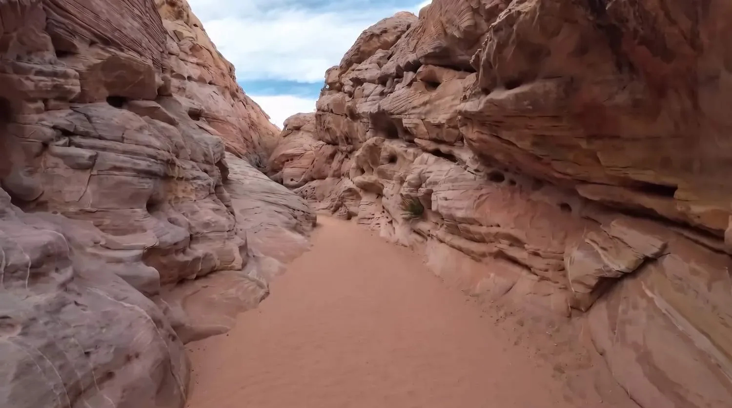
Trailhead & parkingWhite Domes trailhead lot at the end of White Domes Road — a real paved lot, larger than Fire Wave's pullout, but still fills by late morning in cooler months.
A short loop that packs in a slot canyon squeeze, movie-set ruins (part of The Professionals was filmed here), and white-and-red sandstone domes — more variety per mile than almost anything else on this list, and genuinely easy.
Who it's wrong forNobody, really — this is one of the most broadly accessible hikes on the list. Flash-flood risk in the slot canyon section during monsoon season (July–Sept) is the one real caution.
Fees & permits$10/vehicle Nevada plates, $15/vehicle non-Nevada, Valley of Fire State Park entrance fee.
Best time to goAny time October through April. Avoid entering the slot canyon section if rain is forecast anywhere in the region, even if it looks clear locally.
From our hikersEditorial estimate — not yet from visitor reports
Actual time: 30–45 minutes for most hikersParking: Moderate — real lot, but fills by late morning in seasonCrowding: Busy but the short loop keeps people moving, less of a bottleneck than Fire Wave
2.6 mi RT · ~580 ft gain · 2–3 hrs · Moderate · ~30 min from the Strip
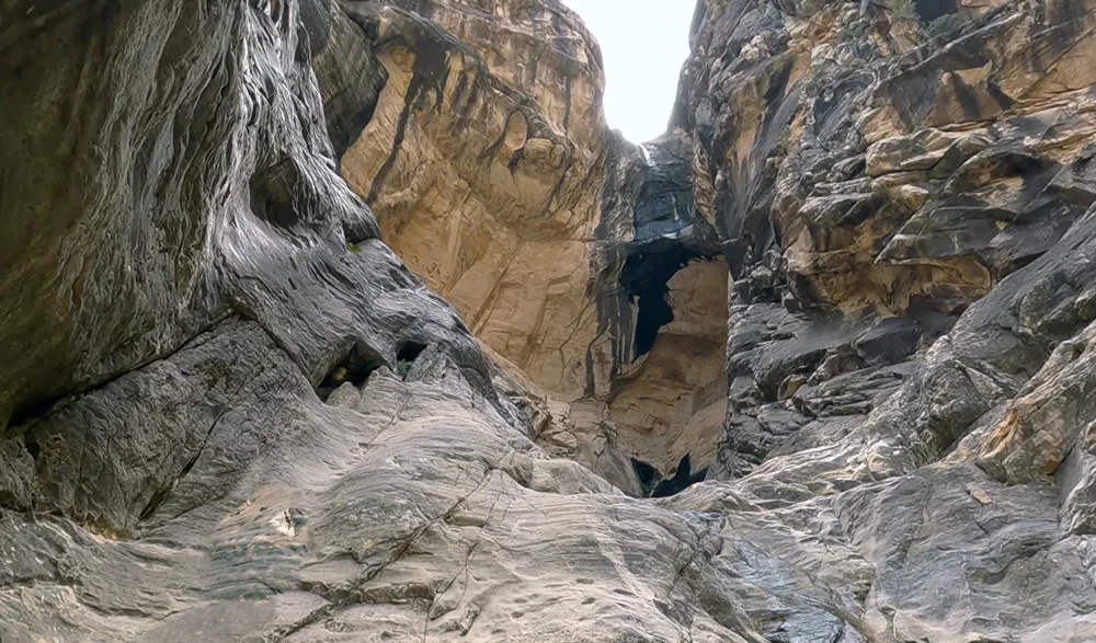
Trailhead & parkingIce Box Canyon trailhead, its own small lot on the Scenic Drive — fills later than Calico Tanks/Turtlehead since it's a less-famous name, but still tight on winter weekends.
Named for a real reason — the deep, shaded canyon walls trap cool air, making this one of the few Red Rock hikes that's tolerable on a warm afternoon when everything else is baking.
Who it's wrong forAnyone wanting a summit view — this is a canyon-bottom hike with no payoff vista, just shade and quiet. The boulder-hopping final stretch also isn't great for bad knees or young kids.
Fees & permits$20/vehicle Red Rock Canyon entrance fee. Scenic Drive timed-entry reservation required Oct 1–May 31, 8am–5pm.
Best time to goOne of the few Red Rock hikes worth doing on a hot afternoon — also pleasant any cool-season morning.
From our hikersEditorial estimate — not yet from visitor reports
Actual time: 2–2.5 hours typicalParking: ModerateCrowding: Lighter than Calico Tanks or Turtlehead — a good pick to avoid the busiest lots
2.8 mi RT · ~950 ft gain · 2–3 hrs · Moderate · ~45 min from the Strip
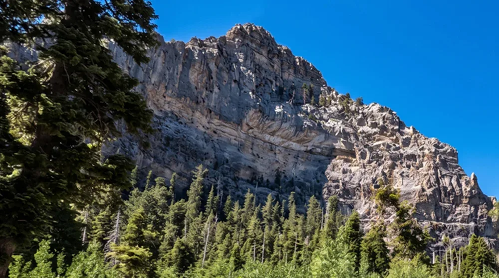
Trailhead & parkingTrailhead at the North Loop/Cathedral Rock parking area on Kyle Canyon Road — moderate size, rarely a problem outside summer holiday weekends.
A steady climb through pine forest to an open ridge with a genuinely wide panoramic view back down Kyle Canyon — the best effort-to-view ratio on the mountain for hikers who don't want a full-day summit push.
Who it's wrong forAnyone in summer looking for desert scenery — this is a forest hike, not a red-rock hike. If that's not what you're after, pick something in Red Rock or Valley of Fire instead.
Best time to goJune through September, when the elevation keeps it 20–30 degrees cooler than the valley floor.
From our hikersEditorial estimate — not yet from visitor reports
Actual time: 2–2.5 hours typicalParking: LowCrowding: Moderate on summer weekends, quiet on weekdays
4.2 mi RT · ~550 ft gain · 2.5–3.5 hrs · Moderate · ~25 min from the Strip
⚠ Main trailhead and access road closed for construction through Nov 11, 2026 — access is rerouted via Democracy Drive.
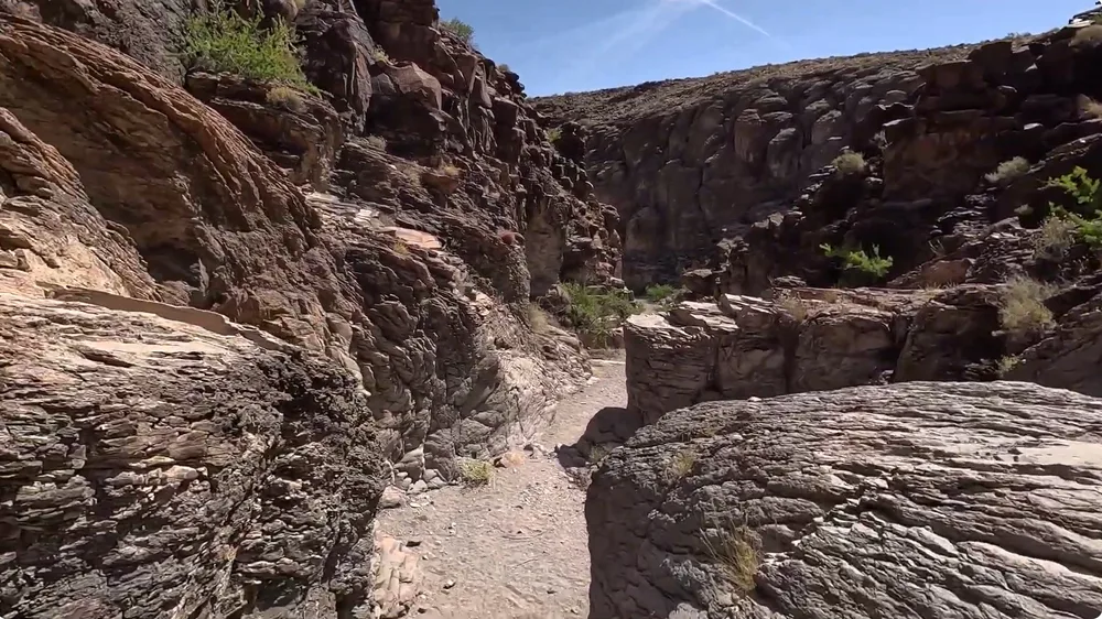
Trailhead & parkingSloan Canyon Visitor Center lot off Foothills Drive in Henderson — spacious by Red-Rock-lot standards, rarely a real problem.
The most underrated hike this close to the city — a wide desert wash leads to one of the densest concentrations of Native American rock art in the Southwest, over 1,700 individual petroglyphs, and most Vegas visitors have never heard of it.
Who it's wrong forAnyone in a rush — the wash walk is flat but long, and the payoff (the petroglyph gallery) is at the very end, not along the way.
Fees & permitsFree — no entrance fee, BLM-managed land.
Best time to goOctober through April; the wash offers no shade at all.
From our hikersEditorial estimate — not yet from visitor reports
Actual time: 2.5–3 hours typicalParking: LowCrowding: Light to moderate — far less crowded than comparable Red Rock trails
2.4 mi RT · ~230 ft gain · ~2 hrs · Easy to Moderate · ~30 min from the Strip
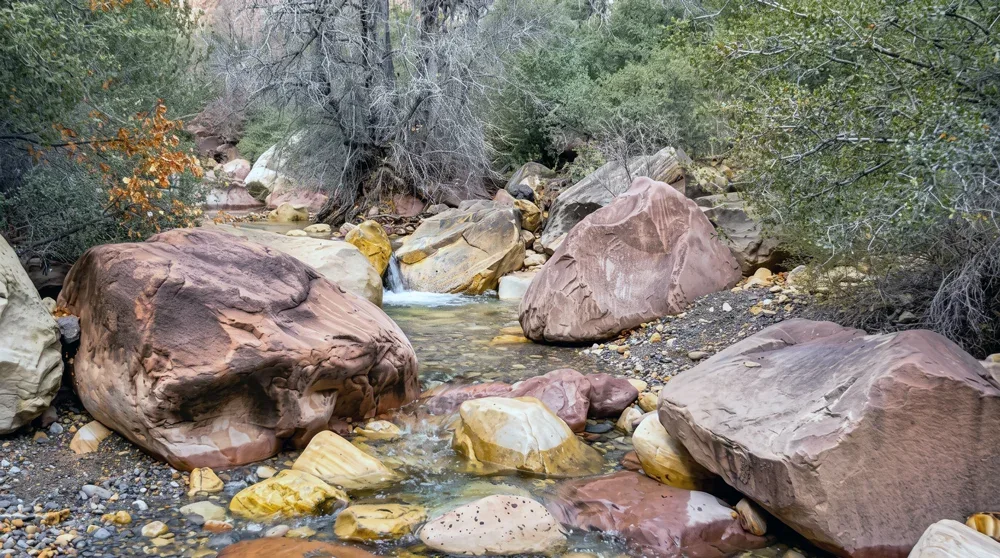
Trailhead & parkingPine Creek trailhead, its own lot on the Scenic Drive — generally has space even when Calico Tanks/Turtlehead's lot is full.
A shaded, gently-graded walk to the ruins of the historic Wilson homestead, with real pine and fir cover along the creek — a good choice specifically because it's easier and less crowded than the marquee Red Rock names.
Who it's wrong forAnyone wanting a summit or a dramatic single payoff — this is a mellow, scenic walk, not a bucket-list climb.
Fees & permits$20/vehicle Red Rock Canyon entrance fee. Scenic Drive timed-entry reservation required Oct 1–May 31, 8am–5pm.
Best time to goGood shoulder-season option; shadier than most Red Rock trails so more tolerant of a warm day.
From our hikersEditorial estimate — not yet from visitor reports
Actual time: 1.5–2 hours typicalParking: Low — often has space when other Red Rock lots are fullCrowding: Light
Up to 7.5 mi RT (shorter turnarounds available) · ~250 ft gain · up to 4 hrs · Easy · ~35 min from the Strip
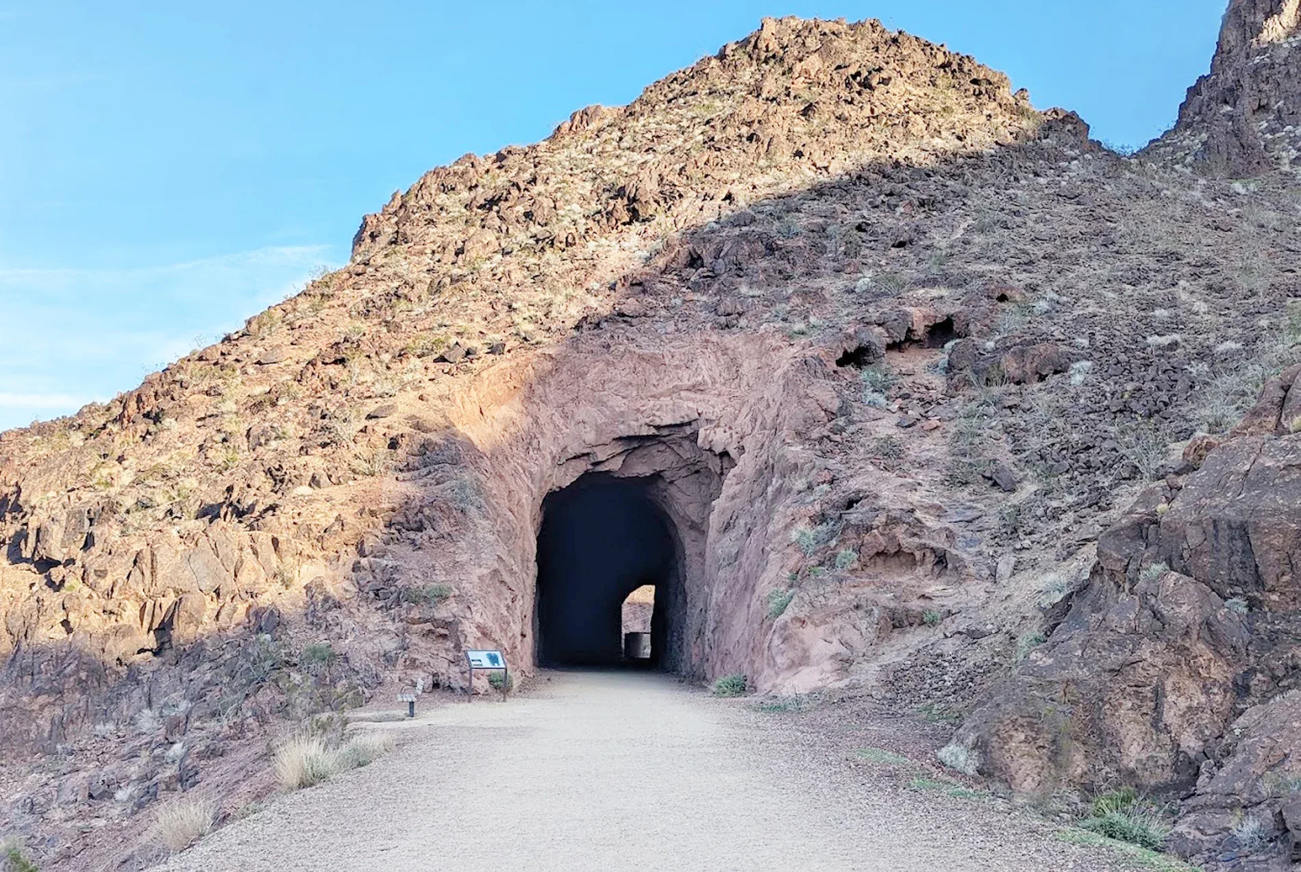
Trailhead & parkingHistoric Railroad Trailhead lot near the Lake Mead NRA entrance off Lakeshore Road — spacious, rarely fills.
A flat, wide former railroad grade through five old train tunnels blasted in the 1930s to move materials for Hoover Dam — genuinely unique, and easy enough that it works for almost any fitness level or turnaround distance.
Who it's wrong forAnyone wanting solitude or dramatic scenery — the tunnels are the whole draw; the surrounding terrain is fairly flat desert.
Fees & permitsLake Mead NRA entrance fee may apply depending on access point ($25/vehicle 1–7 day pass) — confirm current fee status for this specific trailhead before you go.
Best time to goAny cool-season day; fully exposed with no shade, a poor choice May–September midday.
From our hikersEditorial estimate — not yet from visitor reports
Actual time: Varies widely by chosen turnaround — 1st tunnel round trip is under an hour, all 5 tunnels is closer to 4Parking: LowCrowding: Light to moderate
4.4 mi RT · 1,000+ ft gain · ~3 hrs · Difficult · ~20 min from the Strip
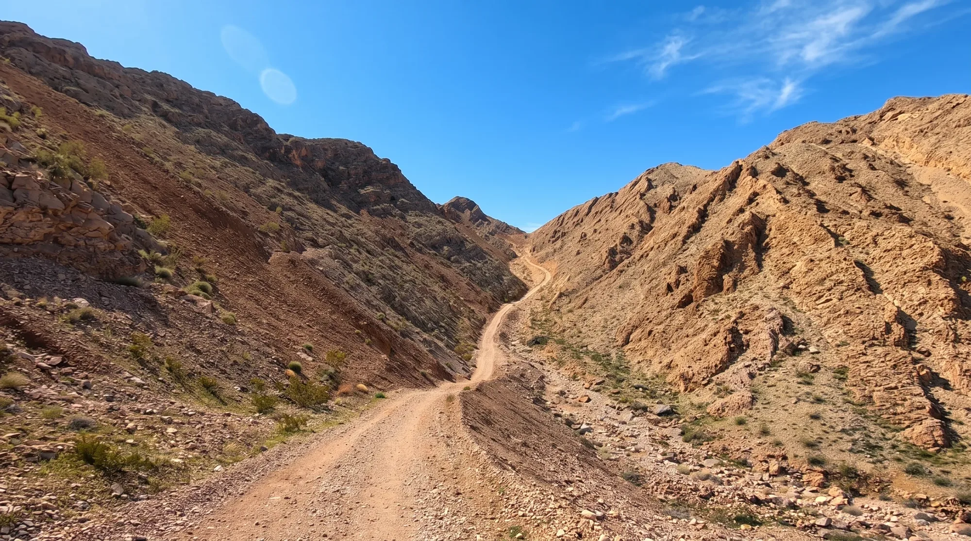
Trailhead & parkingInformal roadside parking off Lake Mead Boulevard — no lot, but rarely crowded since this is a locals' hike, not a tourist stop.
The hike locals do specifically for the Strip skyline view, without the drive to Red Rock or Valley of Fire — a steep BLM service road with essentially no shade and a payoff that's more about the city than the desert.
Who it's wrong forAnyone wanting an official/maintained trail experience — this follows an unmaintained service road, not a built trail, with loose rock and real sun exposure the entire way.
Fees & permitsNone — free BLM land.
Best time to goCool-season mornings, or specifically near sunset for the Strip-lights view. Avoid entirely in summer heat.
From our hikersEditorial estimate — not yet from visitor reports
Actual time: 3 hours typical for the full round tripParking: LowCrowding: Light — mostly locals, not tour-bus traffic
Lower trail (out-and-back, confirm current mileage) · trailhead above 8,000 ft · 3+ hrs · Strenuous · ~1 hr from the Strip
⚠ This entry covers the Lower Trail, which is open — the Upper Trail remains closed until 2029.
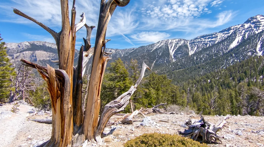
Trailhead & parkingLee Canyon ski area trailhead lot — shared with winter ski traffic in season, otherwise generally has space.
The highest-elevation, coolest-air hike on this whole list — genuine sub-alpine forest with bristlecone pines, some of the oldest living trees on Earth, at a trailhead already above 8,000 feet.
Who it's wrong forAnyone not acclimated to elevation, or expecting a quick outing — the thin air at 8,000+ feet makes this feel harder than the distance alone suggests.
Best time to goJune through September for guaranteed snow-free access; check current conditions before driving up in shoulder months.
From our hikersEditorial estimate — not yet from visitor reports
Actual time: 3+ hours typicalParking: Low outside ski seasonCrowding: Light
1.2 mi RT · 534 ft gain · ~1 hr · Moderate · ~20 min from the Strip
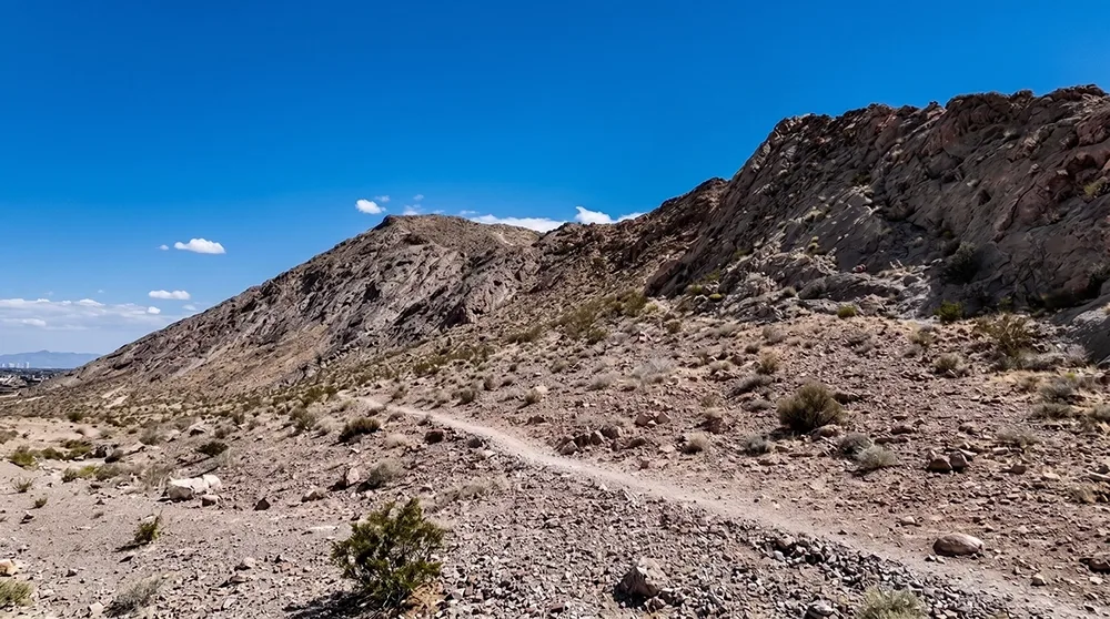
Trailhead & parkingSmall residential-street lot at the base of Lone Mountain in northwest Las Vegas — tight, fills fast on weekend mornings since it's the shortest hike on this list.
A genuinely quick 360-degree summit view of the whole valley, done in about an hour — the pick for someone with limited time who still wants a real climb and a real payoff, not just a stroll.
Who it's wrong forAnyone wanting shade or a long outing — this is short, steep, and fully exposed. Not a place to linger in summer.
Best time to goSunrise or sunset year-round, for the light on the summit view; avoid summer midday.
From our hikersEditorial estimate — not yet from visitor reports
Actual time: 45 minutes to an hourParking: High for a lot this small — fills fast given how short the hike isCrowding: Moderate, mostly locals doing a quick workout
5.4 mi RT to the Raintree · ~1,700 ft gain · ~3.5 hrs · Hard · ~1 hr from the Strip
Trailhead & parkingNorth Loop trailhead near the Mt. Charleston Lodge — moderate size, fills on fall-color and summer weekends.
A genuine mountain hike to a single, massive bristlecone pine estimated at over 3,000 years old — the full trail continues to the Charleston Peak summit, but the Raintree turnaround is the realistic goal for most hikers with a day, not a full expedition.
Who it's wrong forAnyone wanting to summit Charleston Peak itself in one outing without serious mountain-hiking experience — that's a 20+ mile round trip requiring a pre-dawn start and real conditioning.
Best time to goLate June through September — snow can linger on the upper trail well into early summer some years.
From our hikersEditorial estimate — not yet from visitor reports
Actual time: 3.5–4 hours typical to the Raintree and backParking: ModerateCrowding: Moderate on fall weekends, light otherwise
3.9 mi RT · ~565 ft gain · 2–3 hrs · Moderate to Strenuous · ~40 min from the Strip
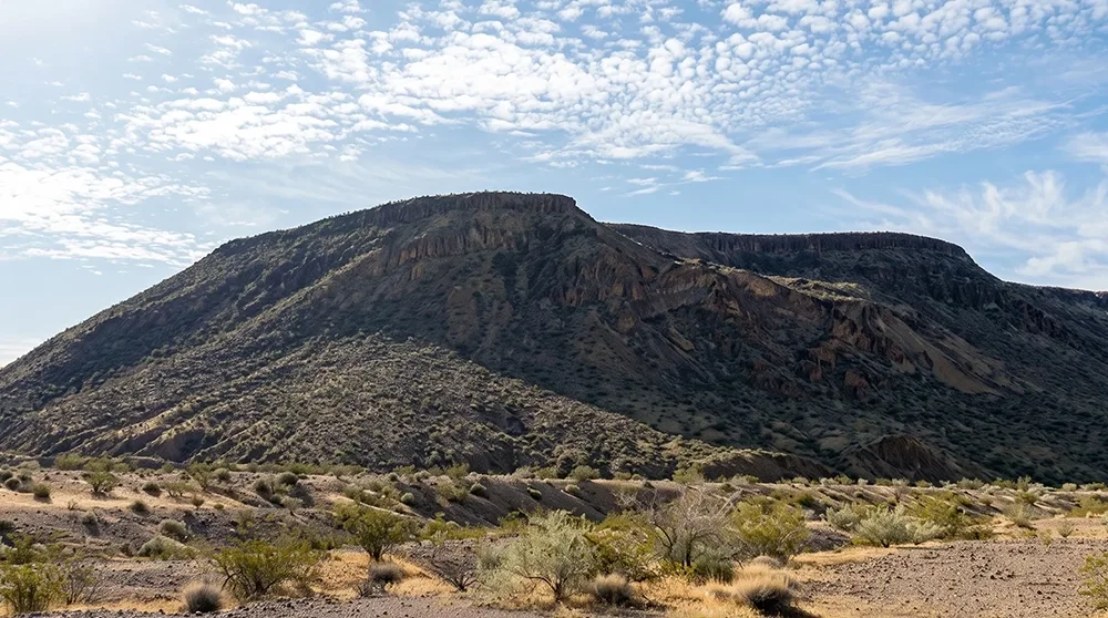
Trailhead & parkingInformal pullout parking near Northshore Road inside Lake Mead NRA — no formal lot, small.
An off-trail, route-finding summit hike to a mesa top with a genuinely different view than anything in Red Rock or Valley of Fire — turquoise Lake Mead water against black volcanic rock, a real change of scenery for a repeat visitor.
Who it's wrong forAnyone uncomfortable with off-trail navigation — this isn't a maintained, signed trail, and route-finding skill matters more here than on anything else on this list.
Fees & permits$25/vehicle (1–7 day pass) or $15/person Lake Mead NRA entrance fee, cashless/card only at the gate.
Best time to goOctober through April; this is exposed volcanic rock with essentially zero shade.
From our hikersEditorial estimate — not yet from visitor reports
Actual time: 2–3 hours to the summit and backParking: Low, but very limited total spacesCrowding: Light — one of the quieter hikes on this list
Before You Go
Heat and water. From late May through September, desert heat is the single biggest risk on this list — not the terrain. Start before 7am, carry at least 1 liter of water per hour of hiking, and treat any exposed, unshaded trail (Fire Wave, White Domes, Frenchman Mountain, Black Mesa) as off-limits in the afternoon regardless of how short it looks on paper.
Red Rock Canyon's Scenic Drive reservation. A timed-entry vehicle reservation is currently required for the Scenic Drive between 8am and 5pm, October 1 through May 31 — book ahead at recreation.gov. No reservation is required June through September. This rule has changed before and will likely change again; confirm current status on redrockcanyonlv.org before you drive out, especially near the reservation window's start and end dates.
Cell service. Expect little to no signal on most of these trails once you're off the highway — Turtlehead Peak, Bristlecone, and North Loop are the least reliable. Download offline maps and tell someone your plan before you go.
Flash floods. July through September is monsoon season in southern Nevada. Slot-canyon and wash sections (White Domes, Petroglyph Canyon, Historic Railroad Trail) can flood fast, even under clear local skies, if a storm hits upstream. Check the forecast for the whole watershed, not just the trailhead.
Ranked using official land-manager data (distance, elevation, fees, and current reservation rules) plus on-the-ground editorial review of each trail. Hiker-submitted time, parking, and crowding reports will be folded in as they come in — every hiker-feedback figure above is currently our own estimate, clearly marked as such. How we rank these.
Frequently Asked Questions
What is the best hike near Las Vegas for a first-timer?
Calico Tanks Trail in Red Rock Canyon — short enough for a half-day, moderate rather than technical, and it ends with a real payoff view most first-time visitors don't expect.
Do I need a reservation to hike in Red Rock Canyon?
Only for driving the Scenic Drive, and only from October 1 through May 31, 8am to 5pm. No reservation is required June through September, or outside those hours. Book at recreation.gov and confirm current rules on redrockcanyonlv.org before you go.
Which hike near Las Vegas has the best Strip views?
Frenchman Mountain and Lone Mountain Summit are the two locals actually climb for a Strip skyline view — both under 30 minutes from the Strip, with Lone Mountain being the shorter, quicker option.
Are dogs allowed on hikes near Las Vegas?
It varies by trail and land manager — check the specific trail's own guide before bringing a dog, and always carry extra water for them regardless. Desert heat affects dogs faster than people.
What's the best time of year to hike near Las Vegas?
October through April for anything at low elevation (Red Rock, Valley of Fire, Lake Mead). June through September works better for the higher-elevation Mt. Charleston trails, which stay 20–30 degrees cooler than the valley floor.
Is there a free hike near Las Vegas with no entrance fee?
Yes — Petroglyph Canyon Trail (Sloan Canyon), Frenchman Mountain, Lone Mountain Summit, Cathedral Rock, and the Mt. Charleston trails on this list all have no entrance fee.